Elevate your photography, elevate your listing
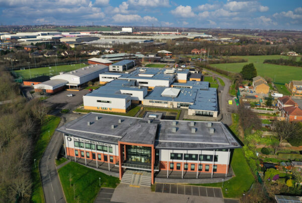
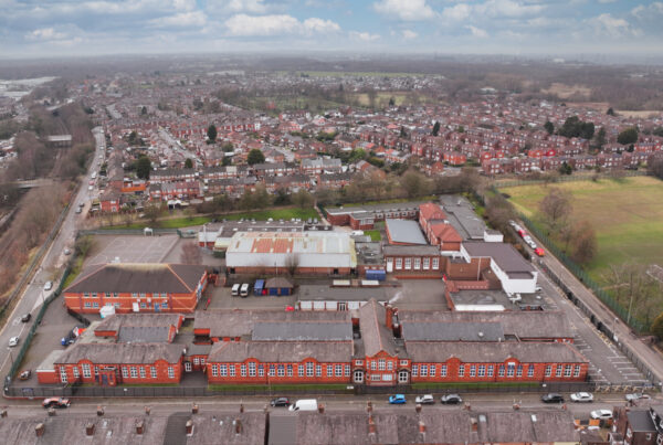
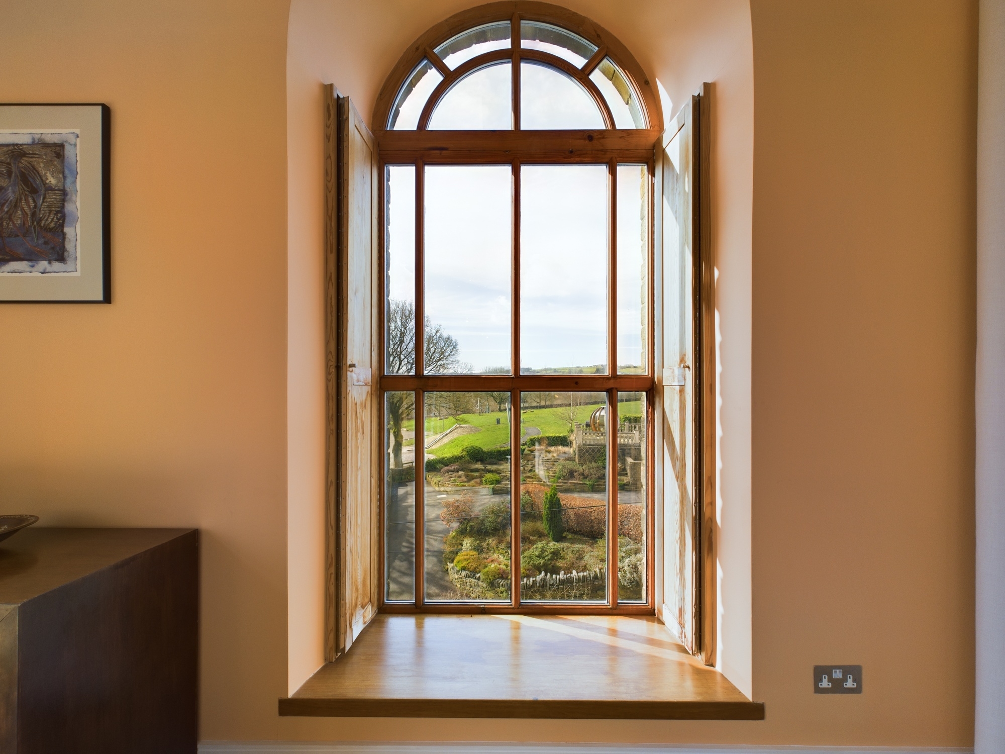
When there’s more to a property than the building itself, highlight grounds and surroundings with spectacular aerial views.
When there’s more to a property than the building itself, highlight grounds and surroundings with spectacular aerial views.

Google maps just doesn’t cut it when it comes to selling property or land. Use beautiful, high quality aerial images to make your property listings stand out in the market.
No, it’s not too good to be true. Our goal is your goal. To sell your latest property as quickly and efficiently as possible.
Because we don’t require any prior risk assessments, we’ll get in and out of the property as soon as possible and deliver your virtual tour with no fuss.
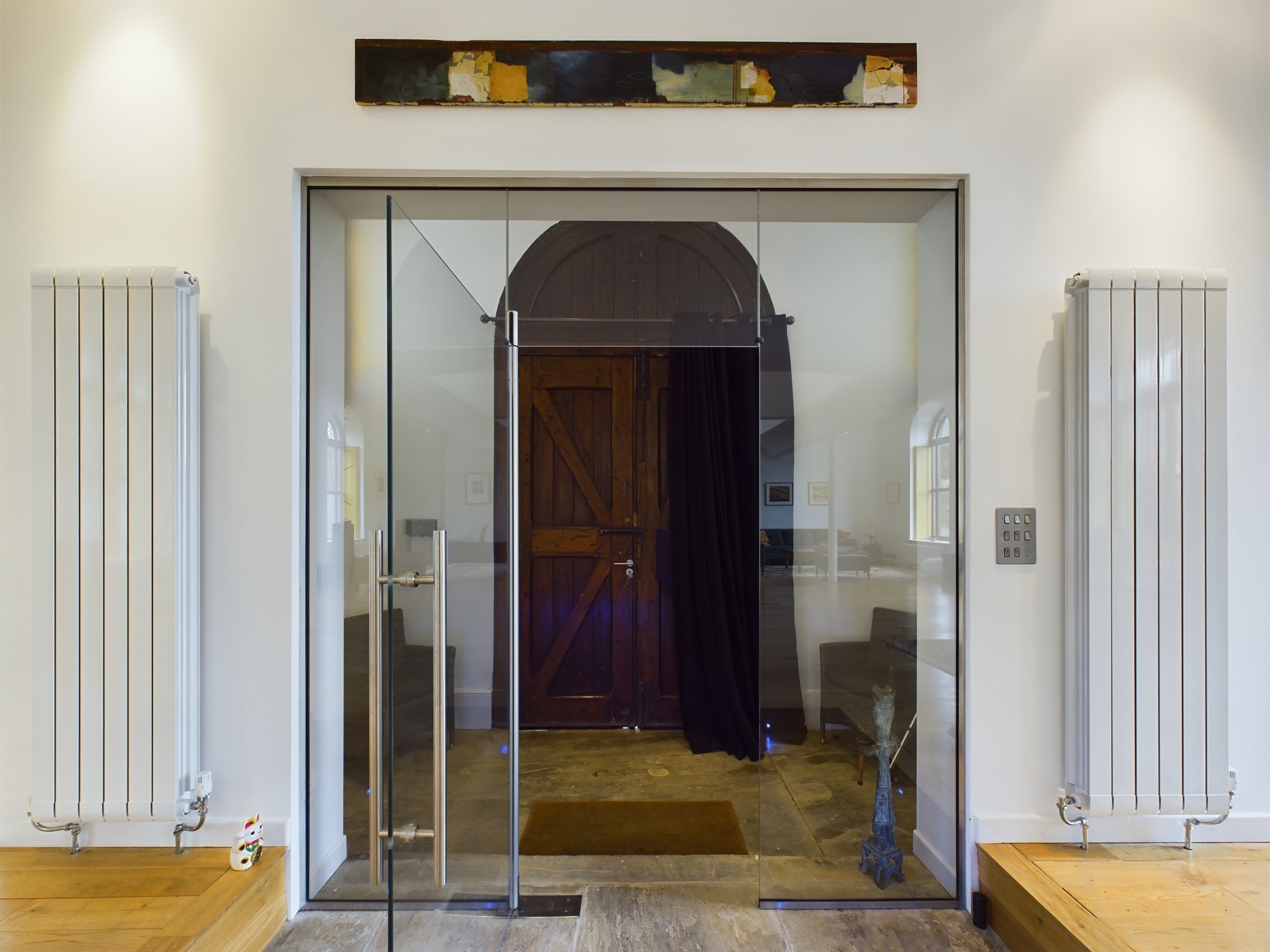
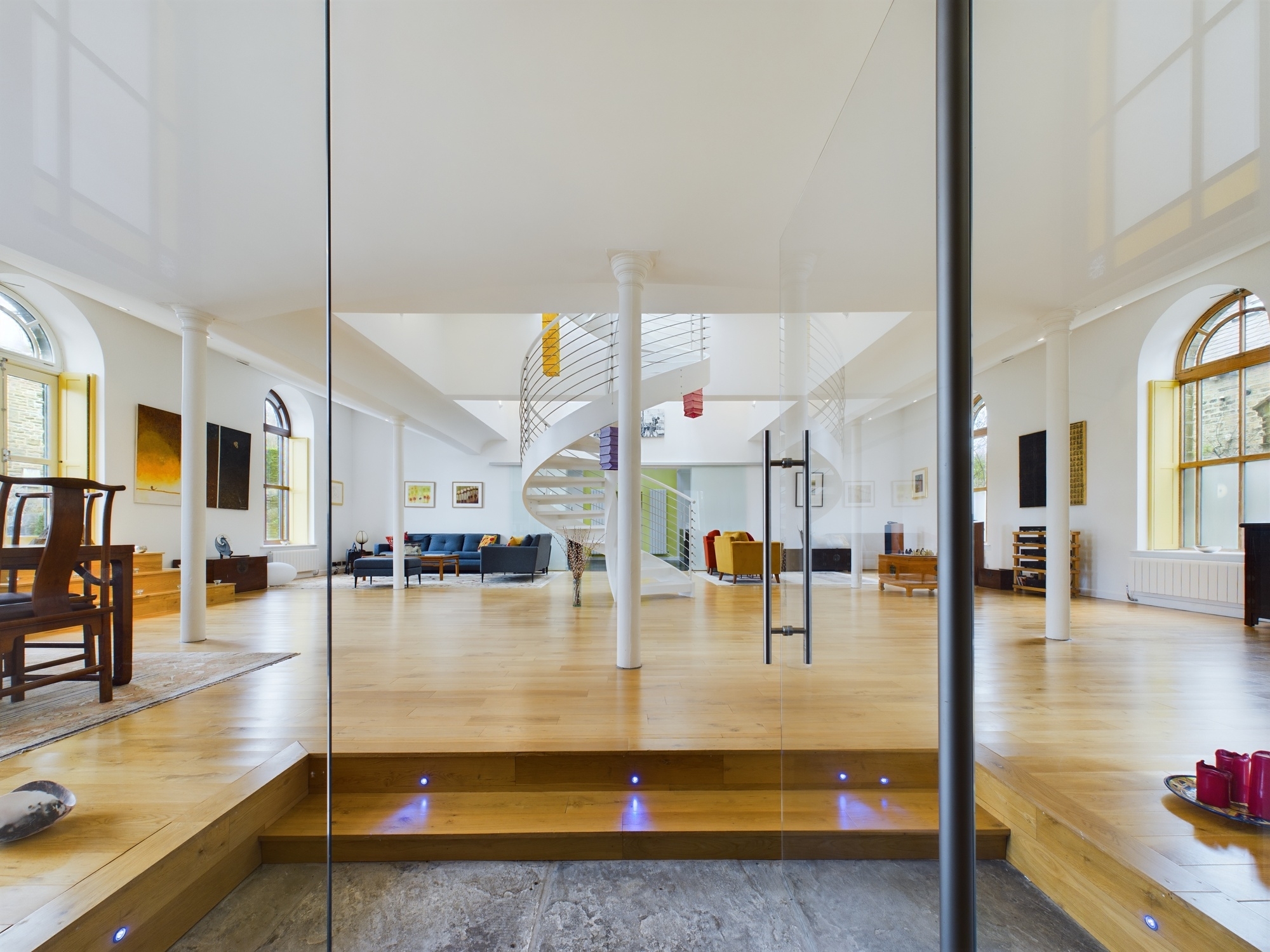
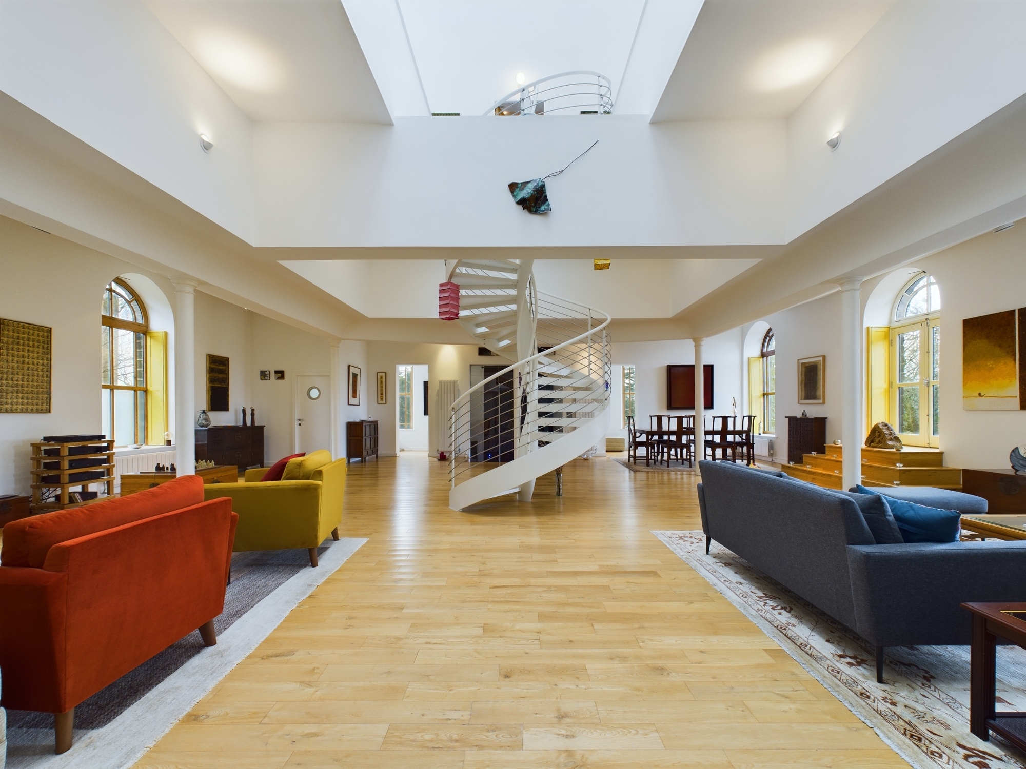
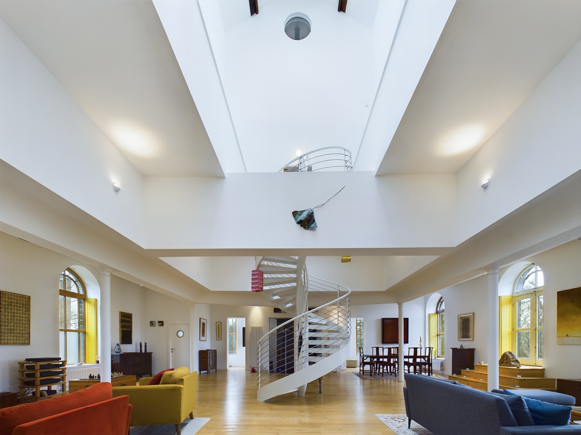
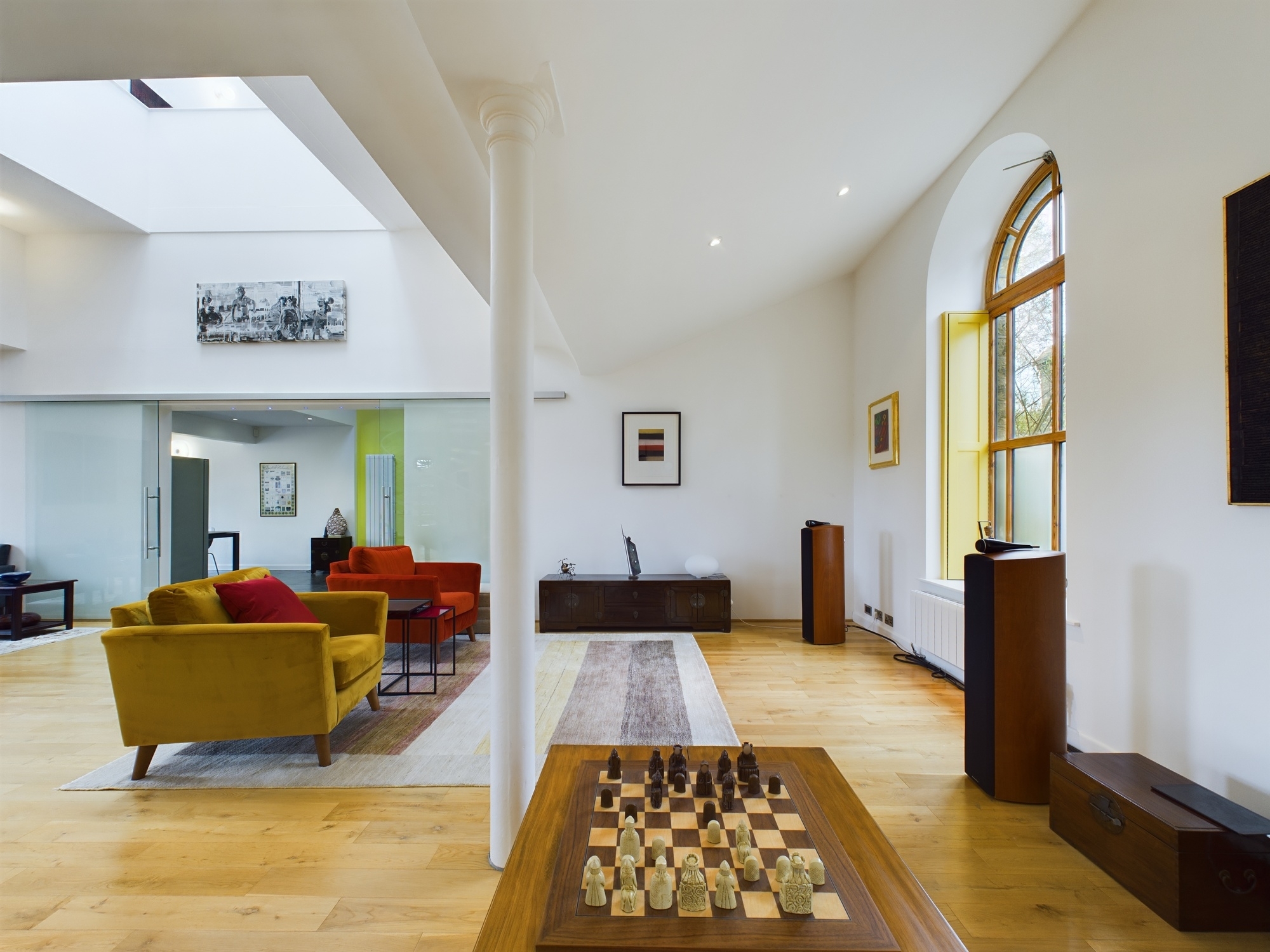
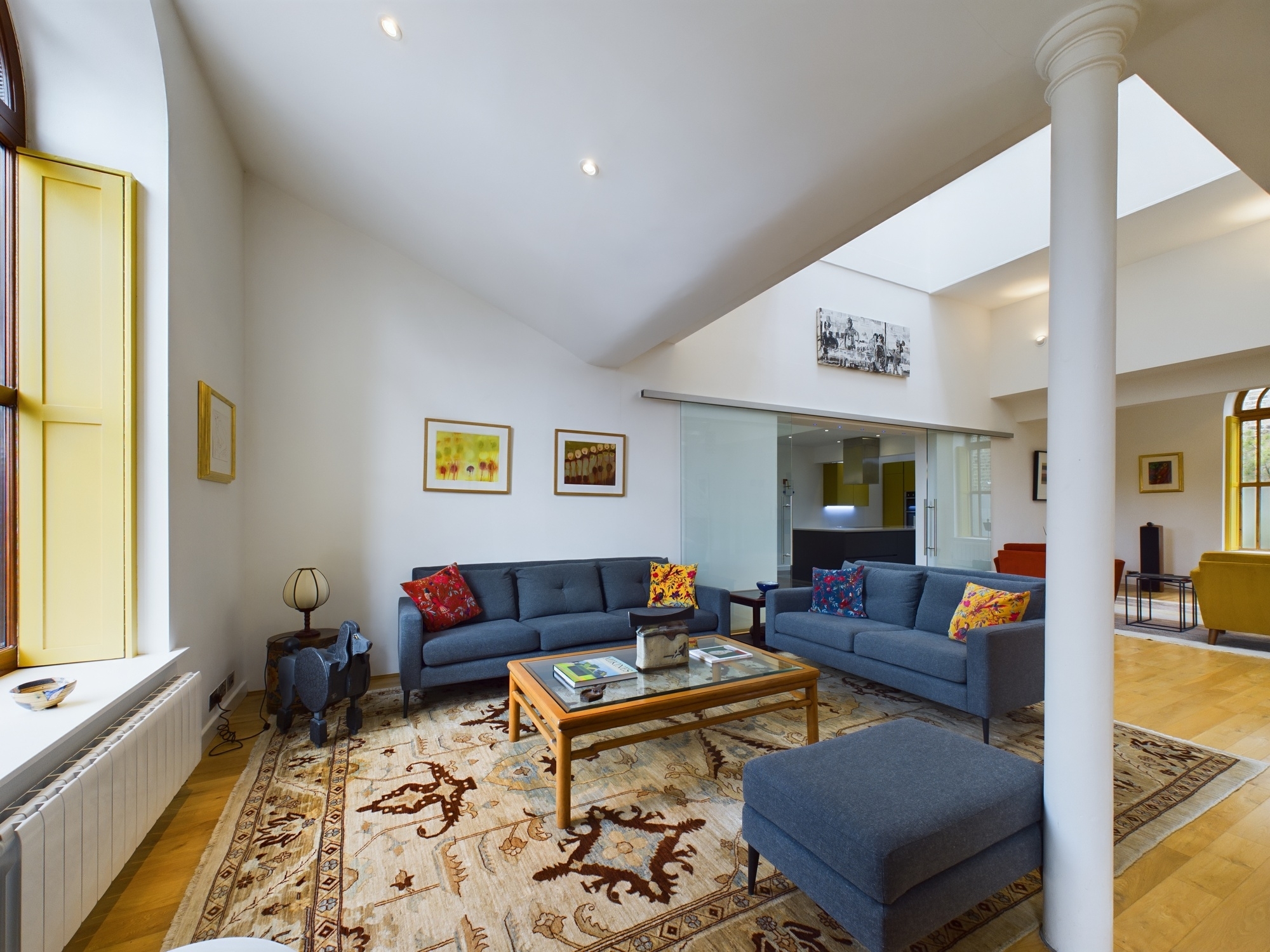
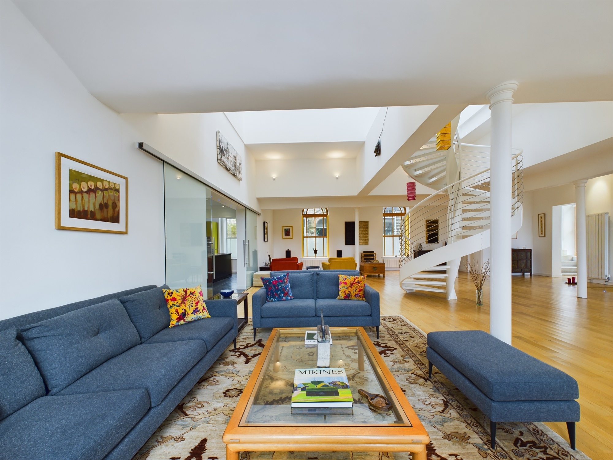
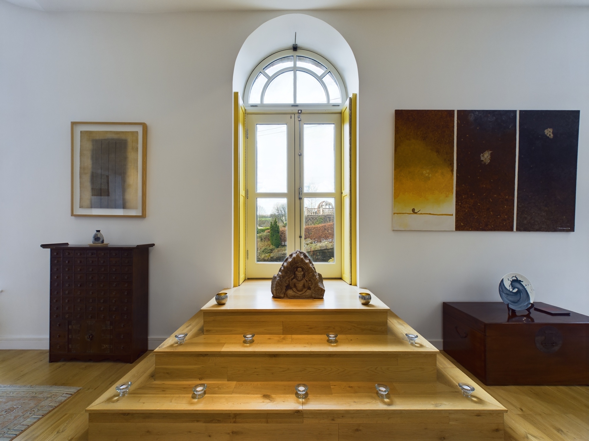
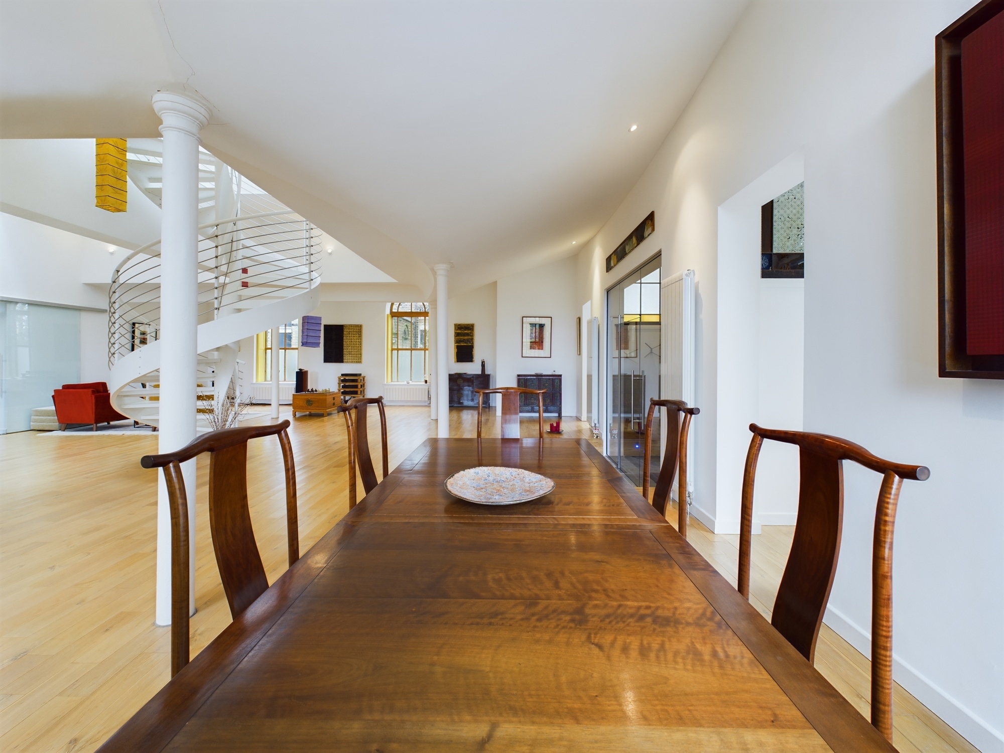
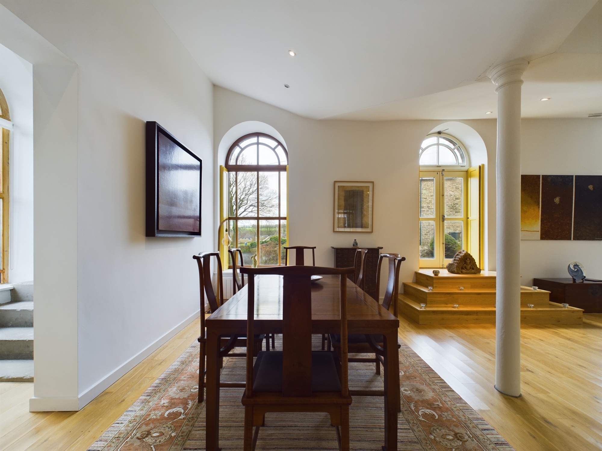
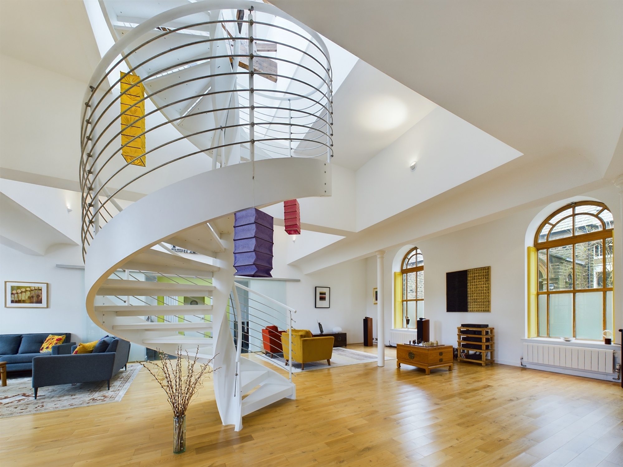
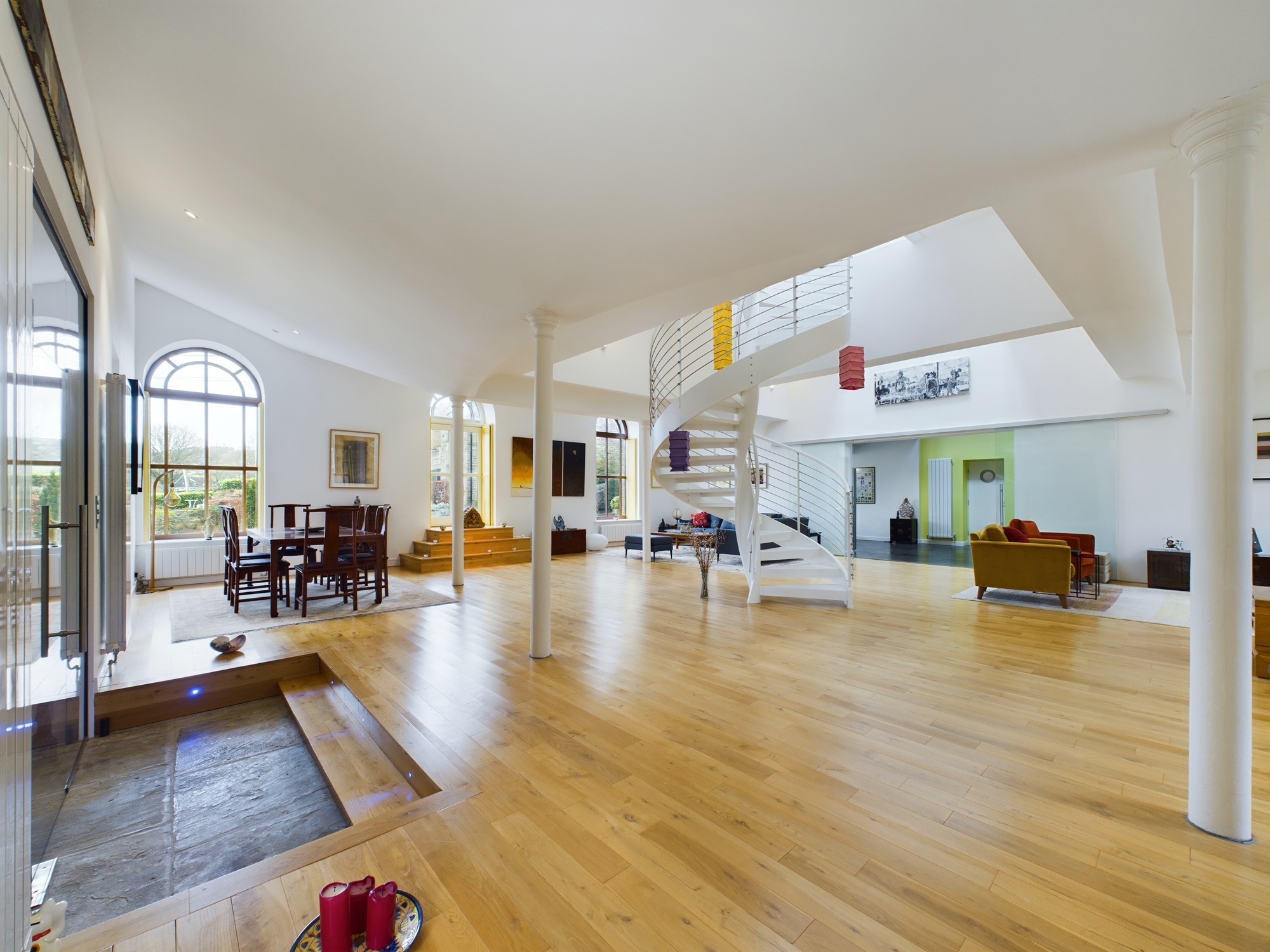
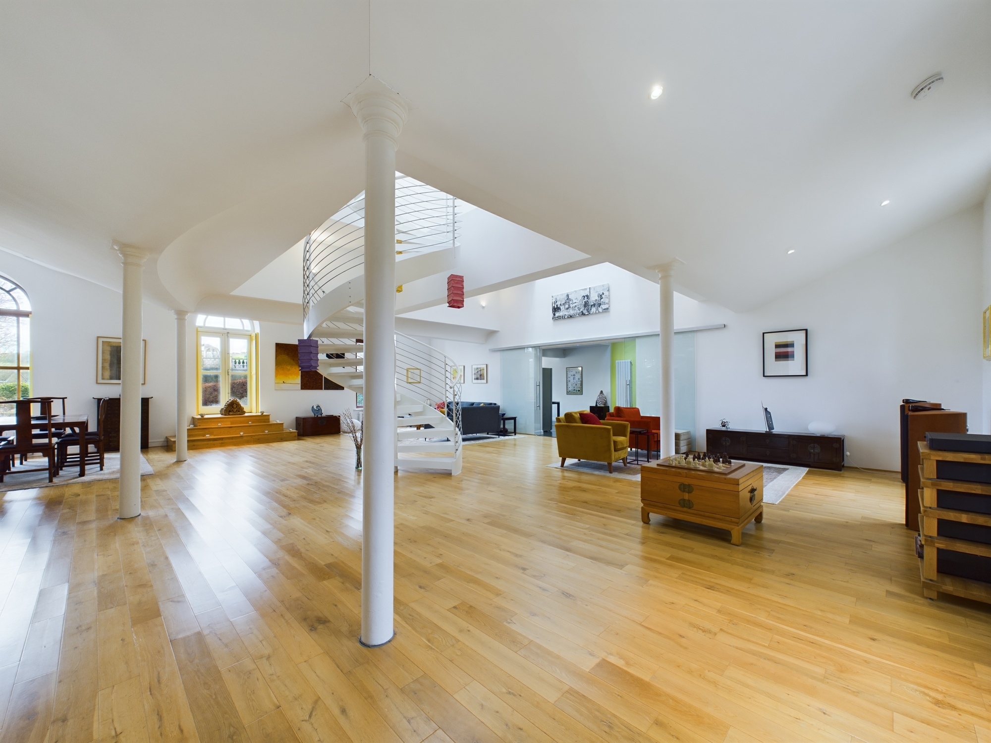
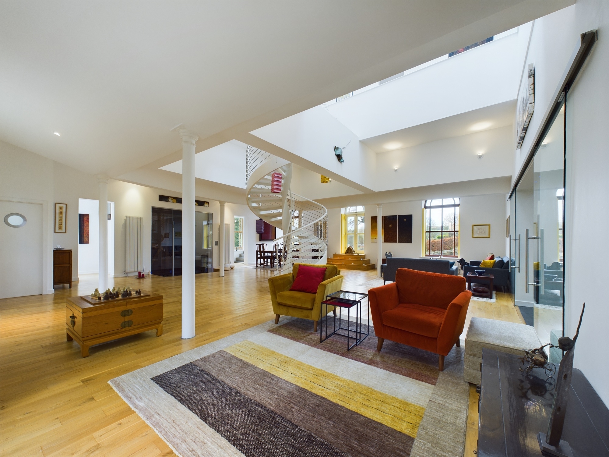
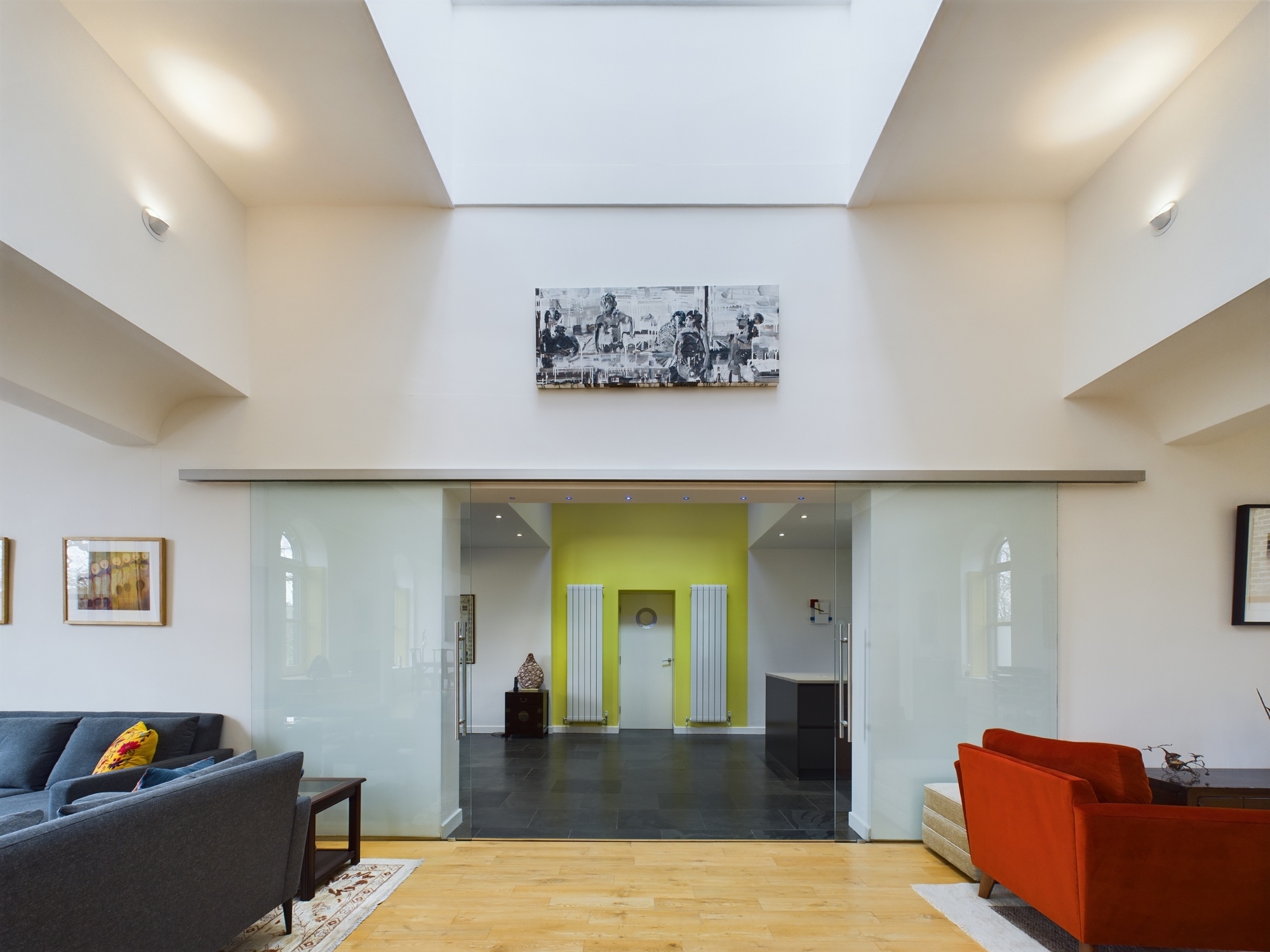
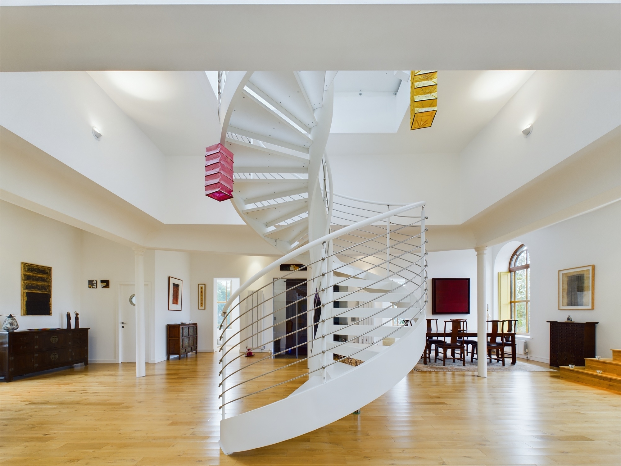
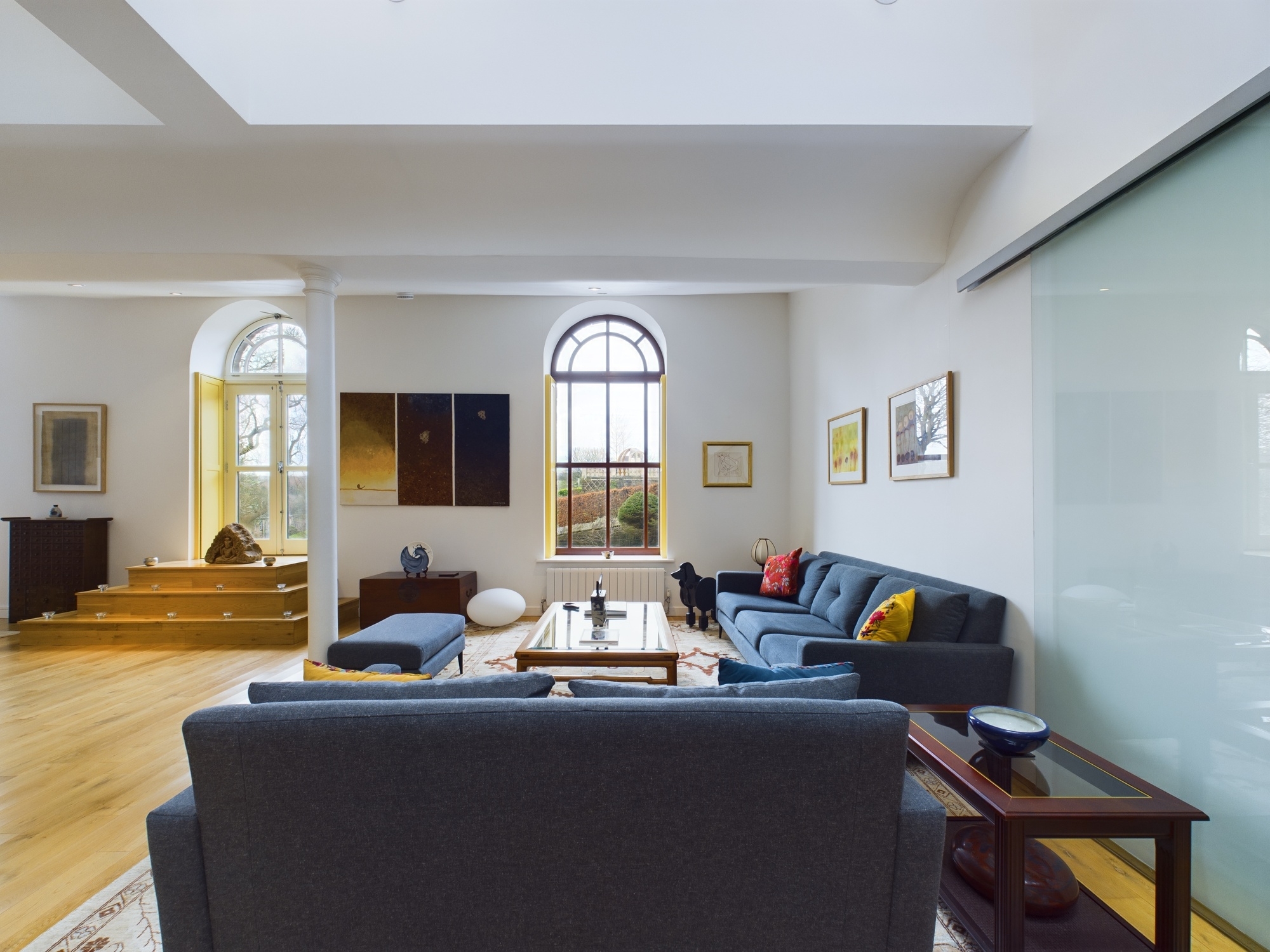
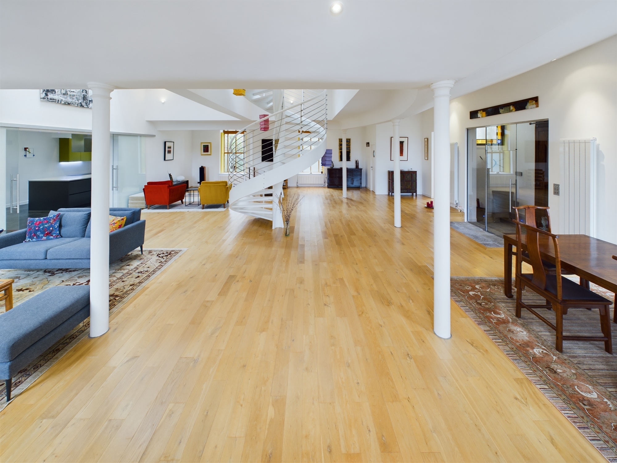
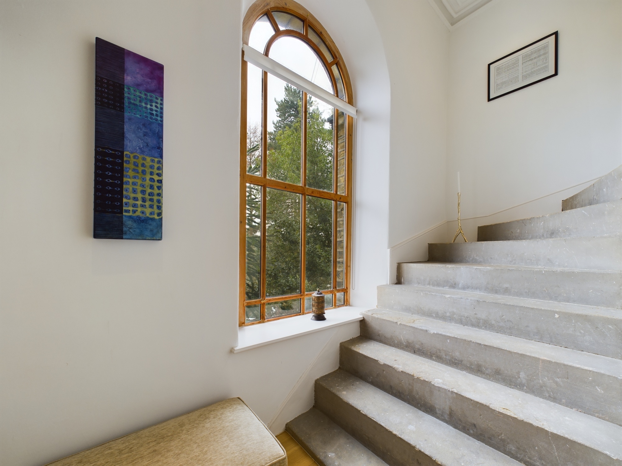
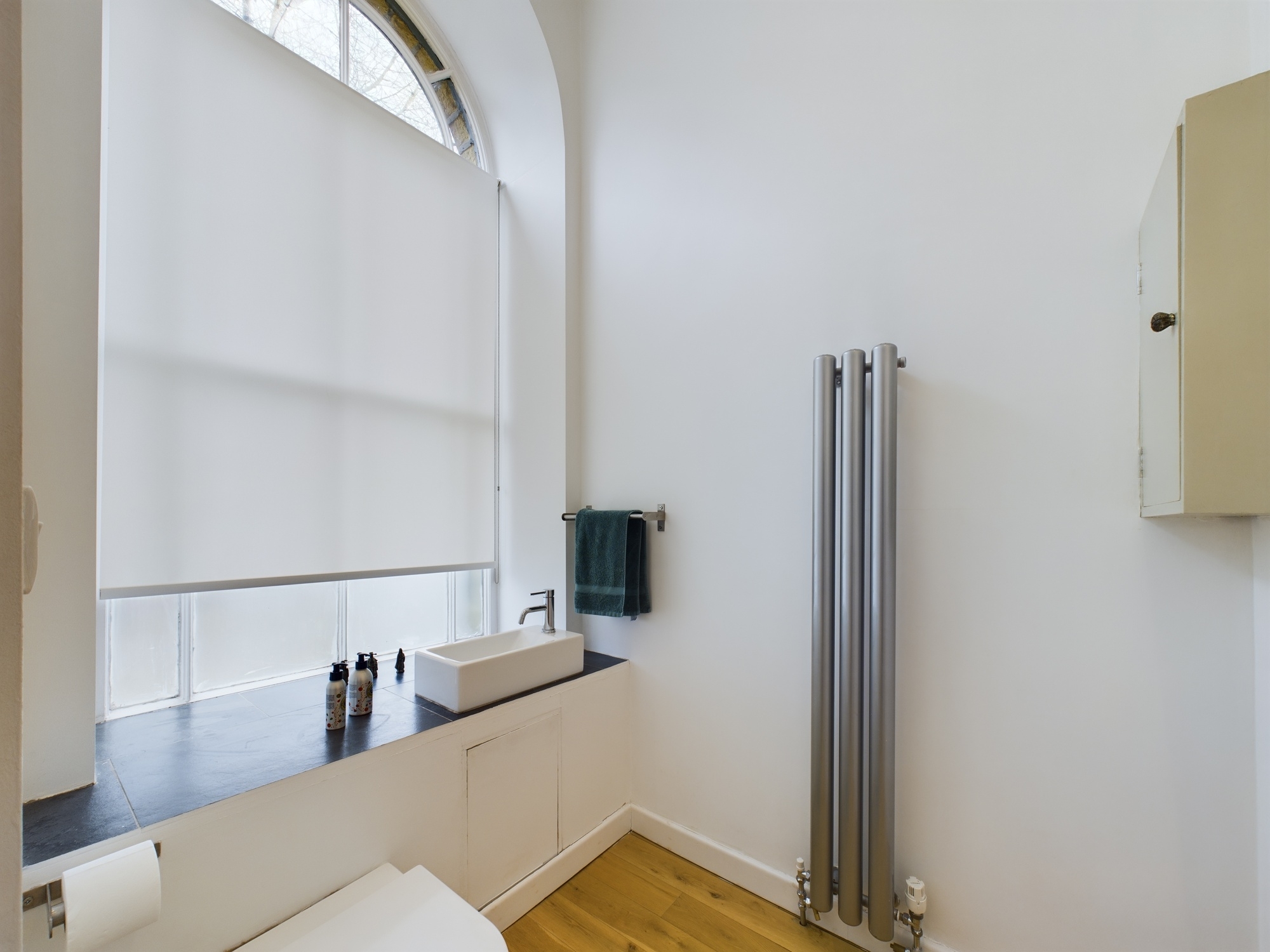
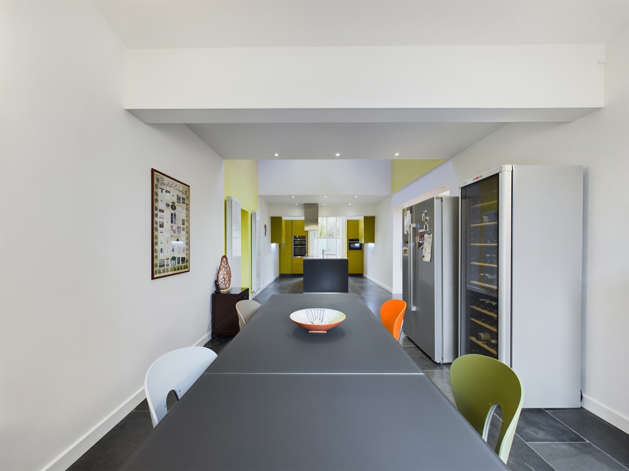
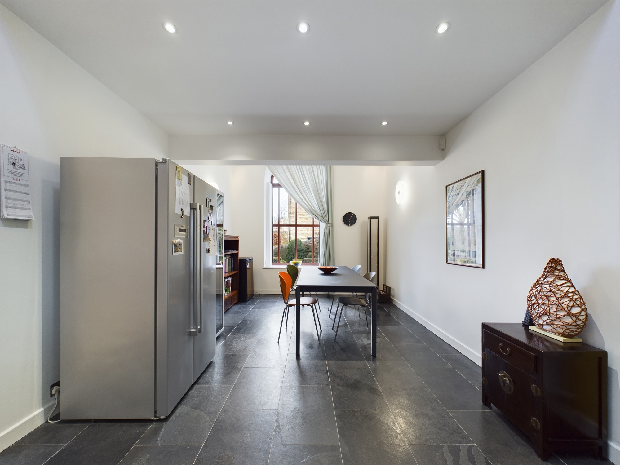
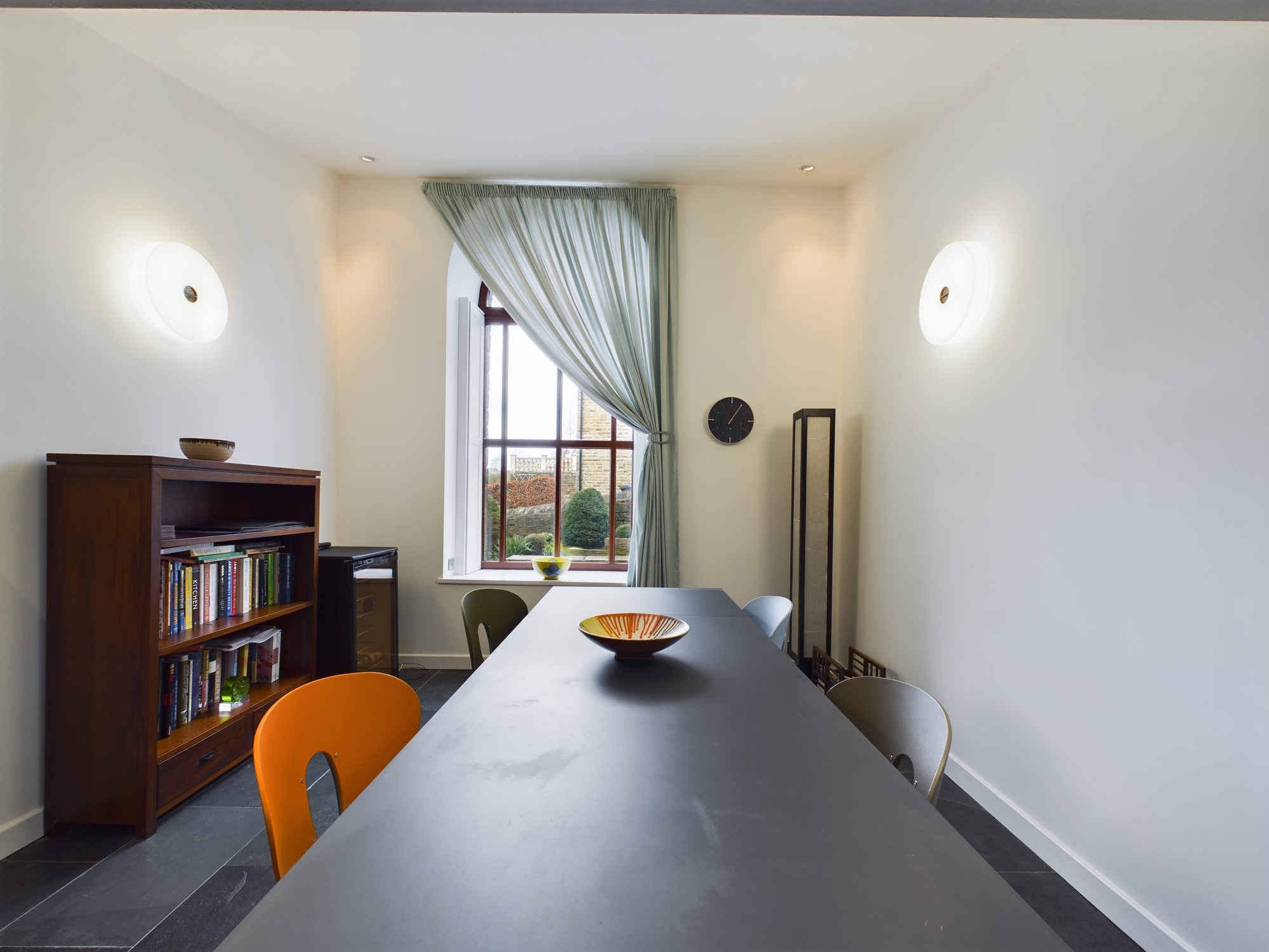
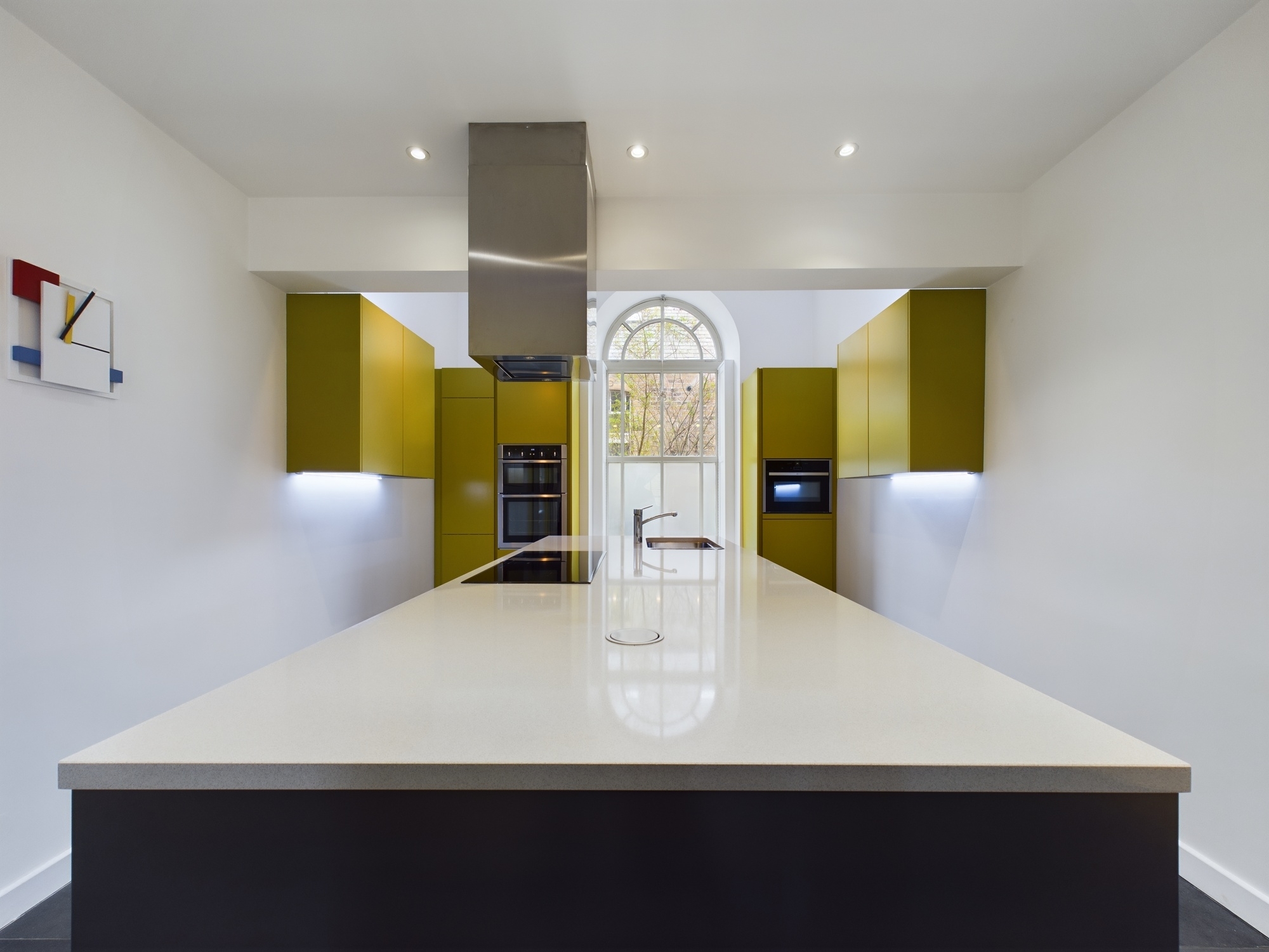
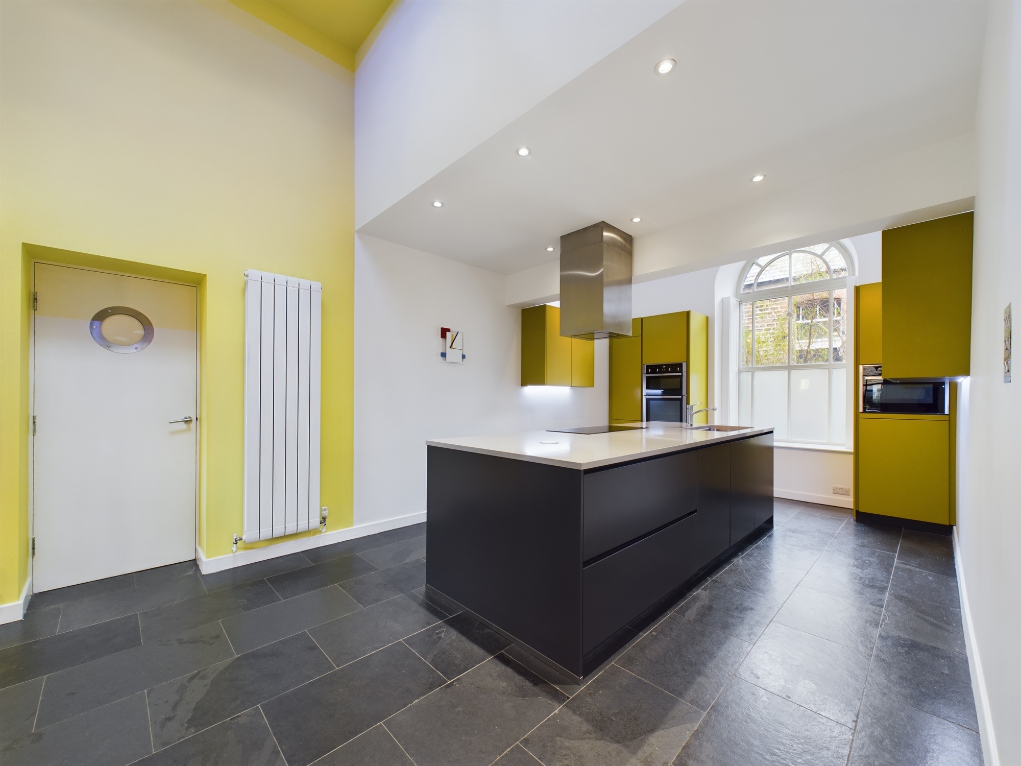
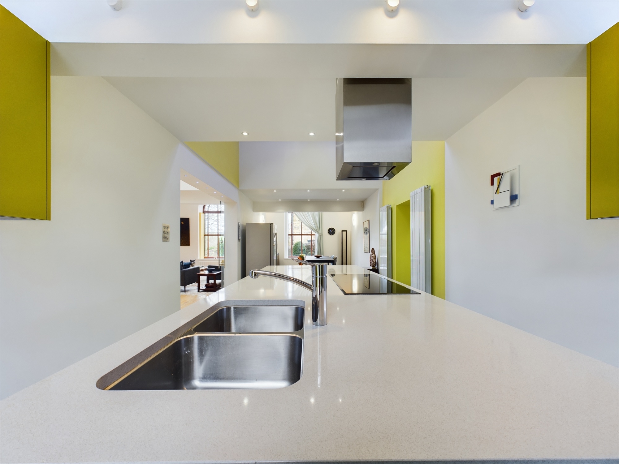
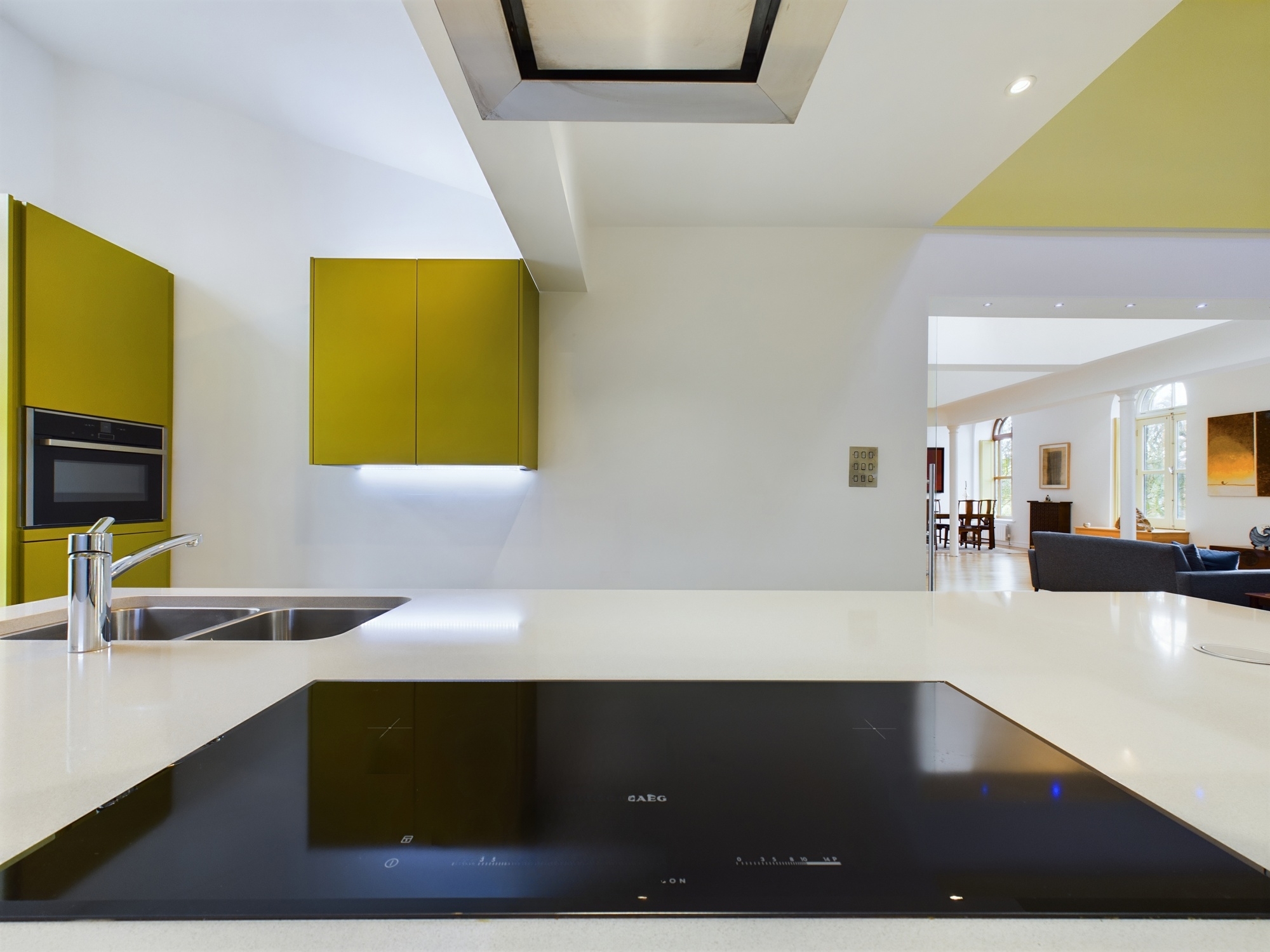
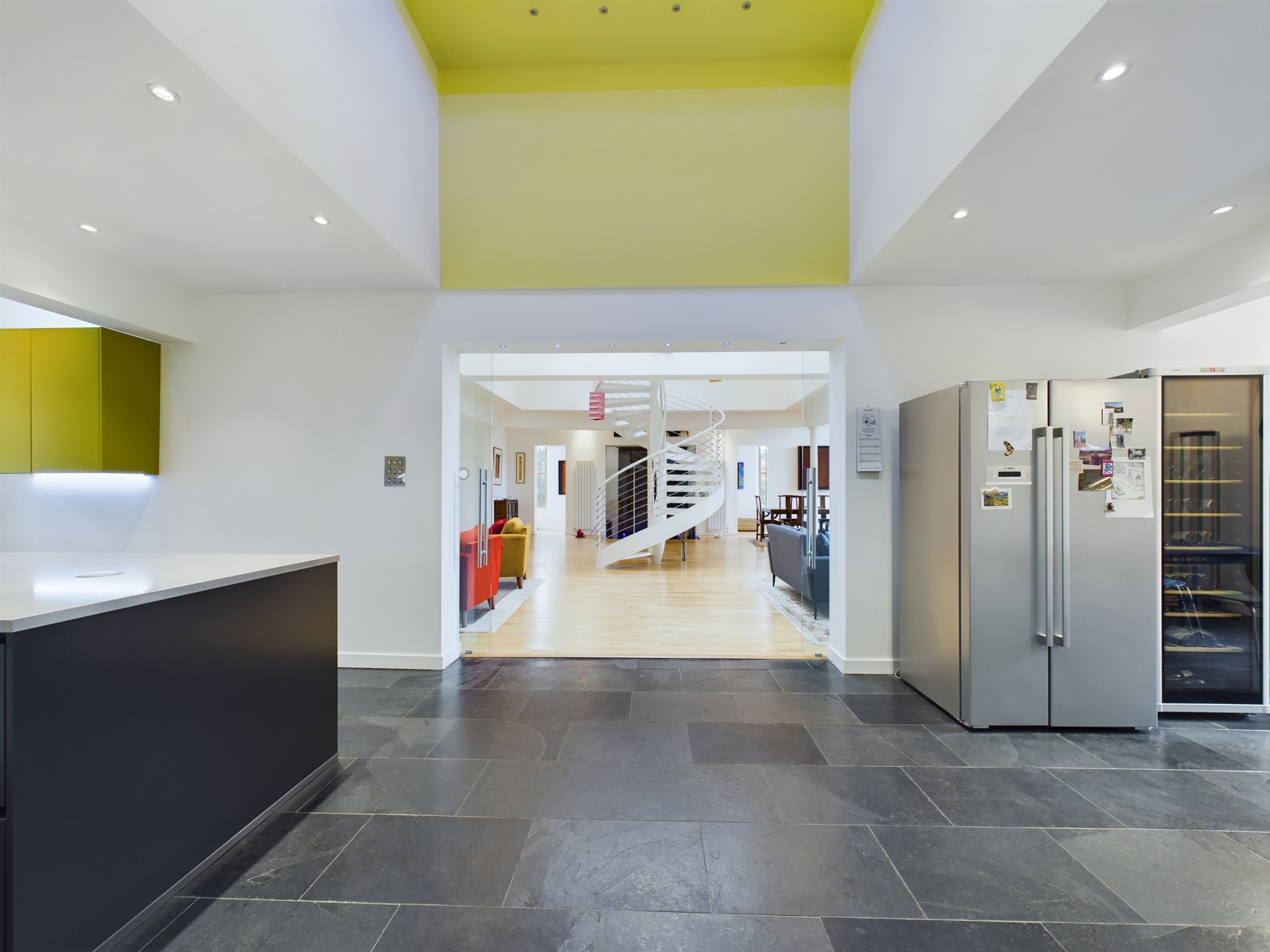
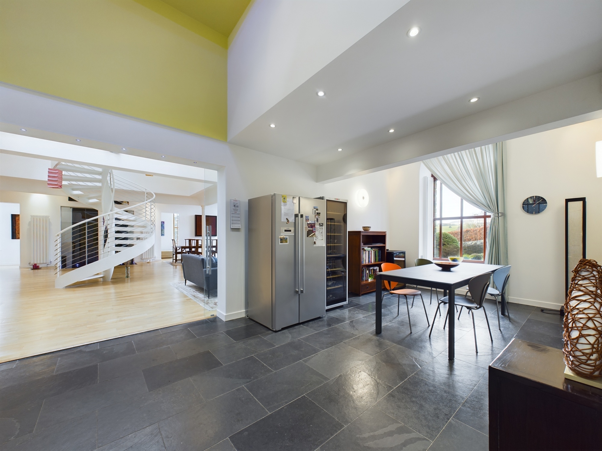
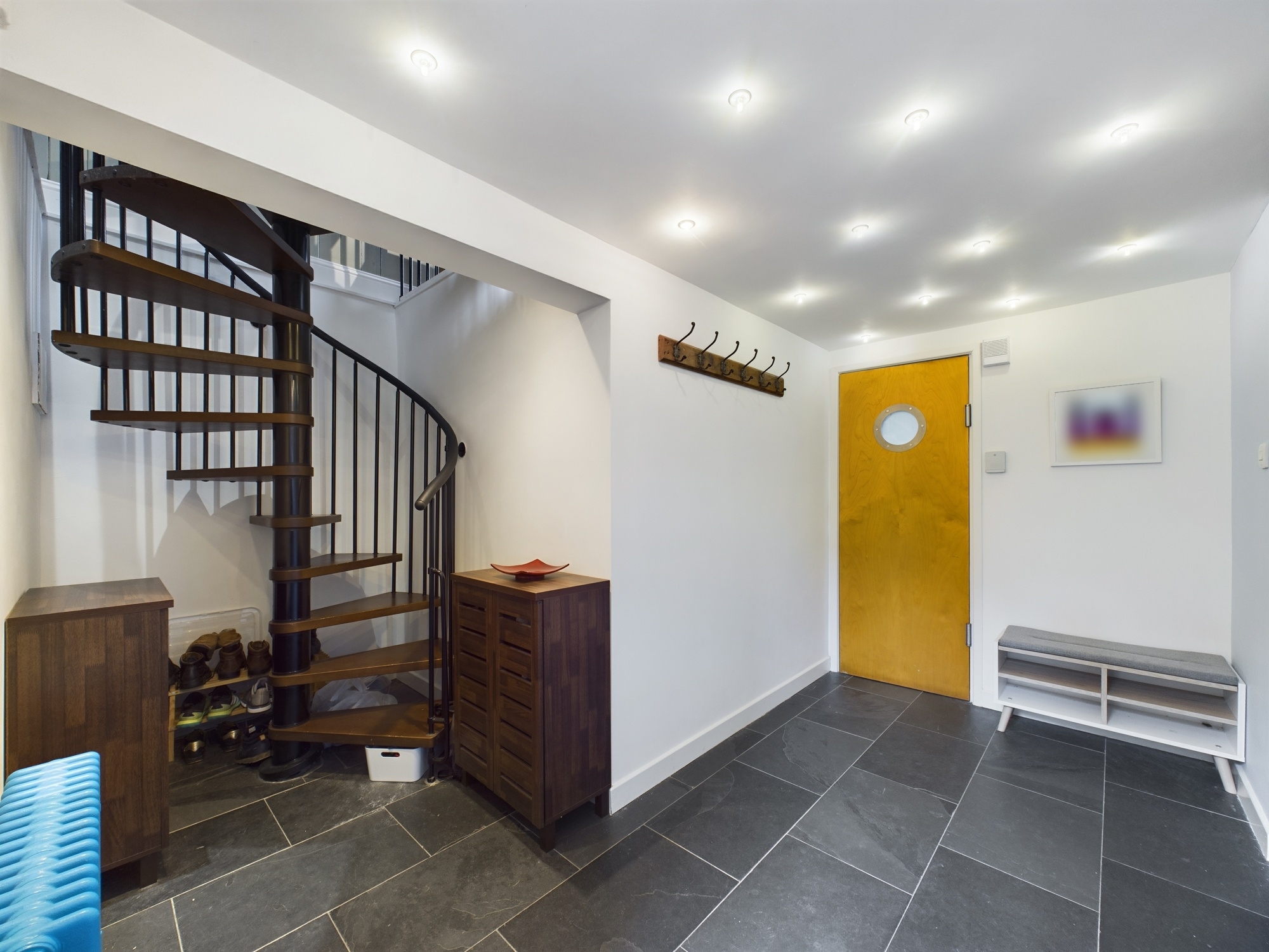
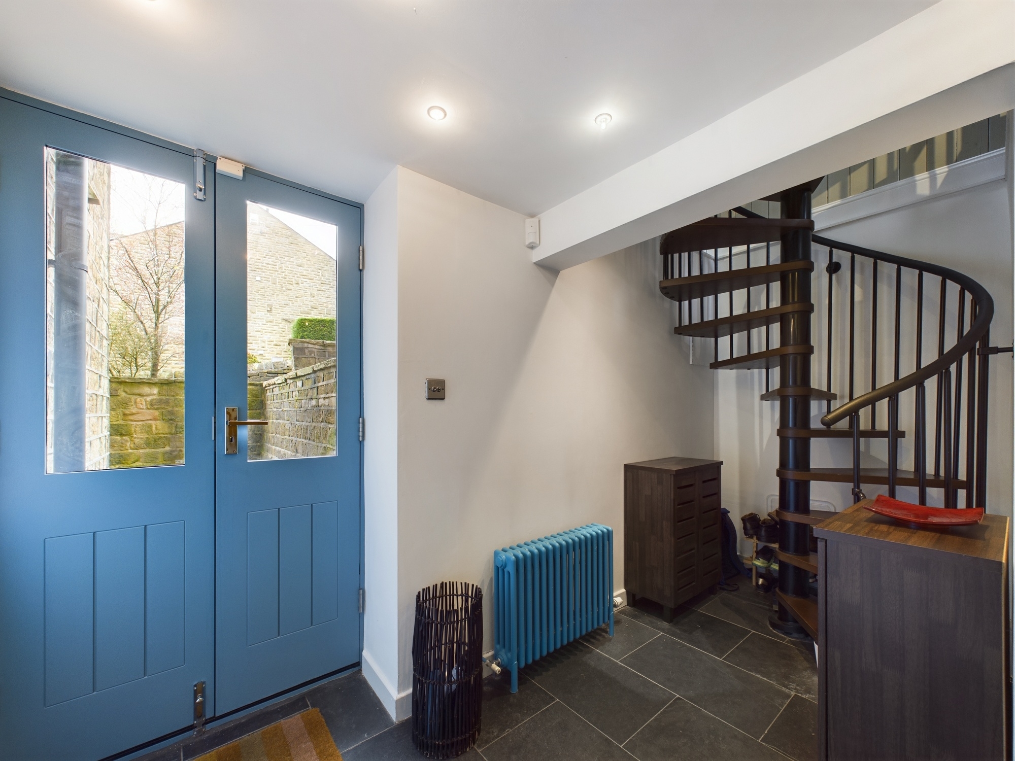
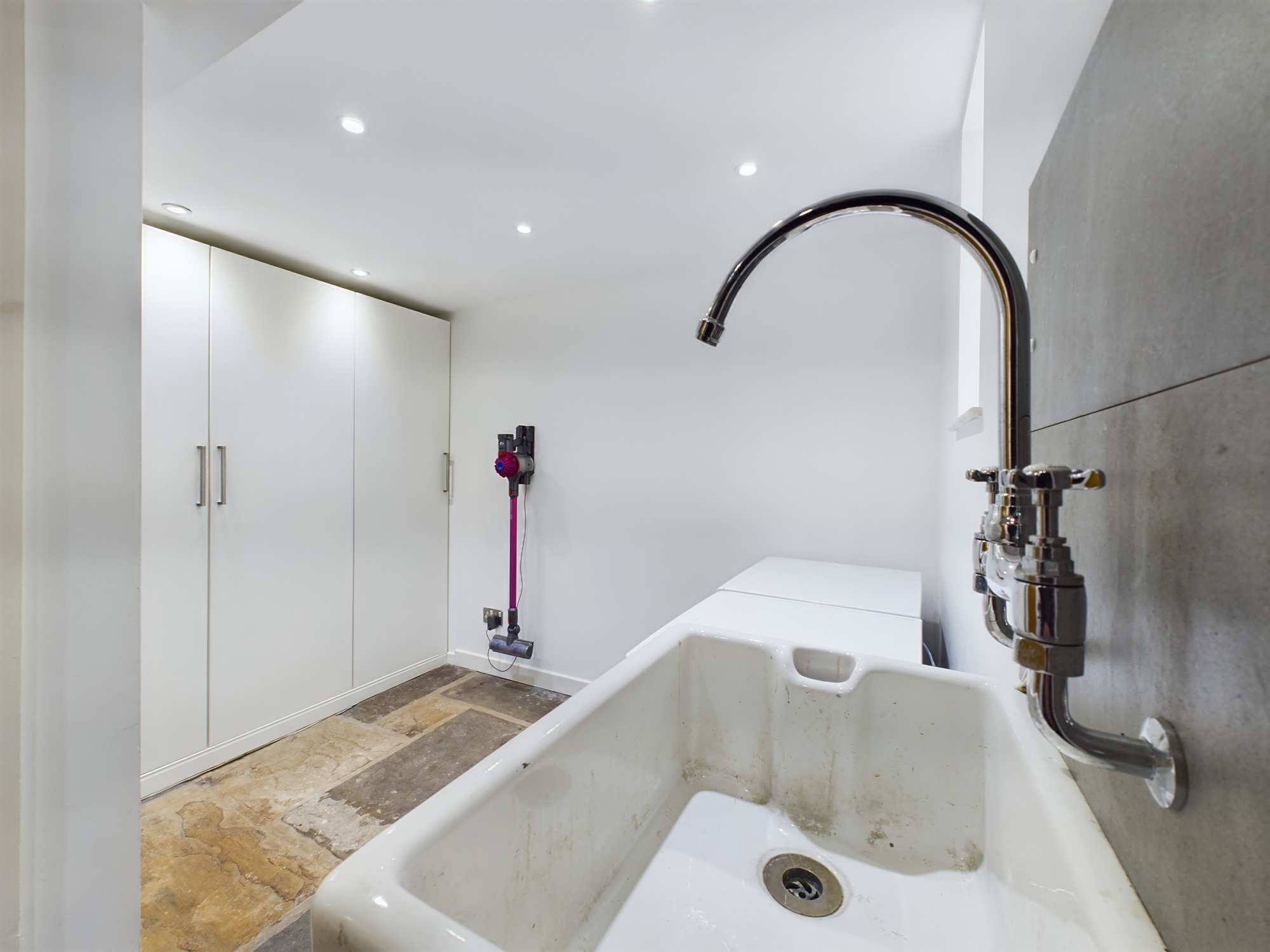
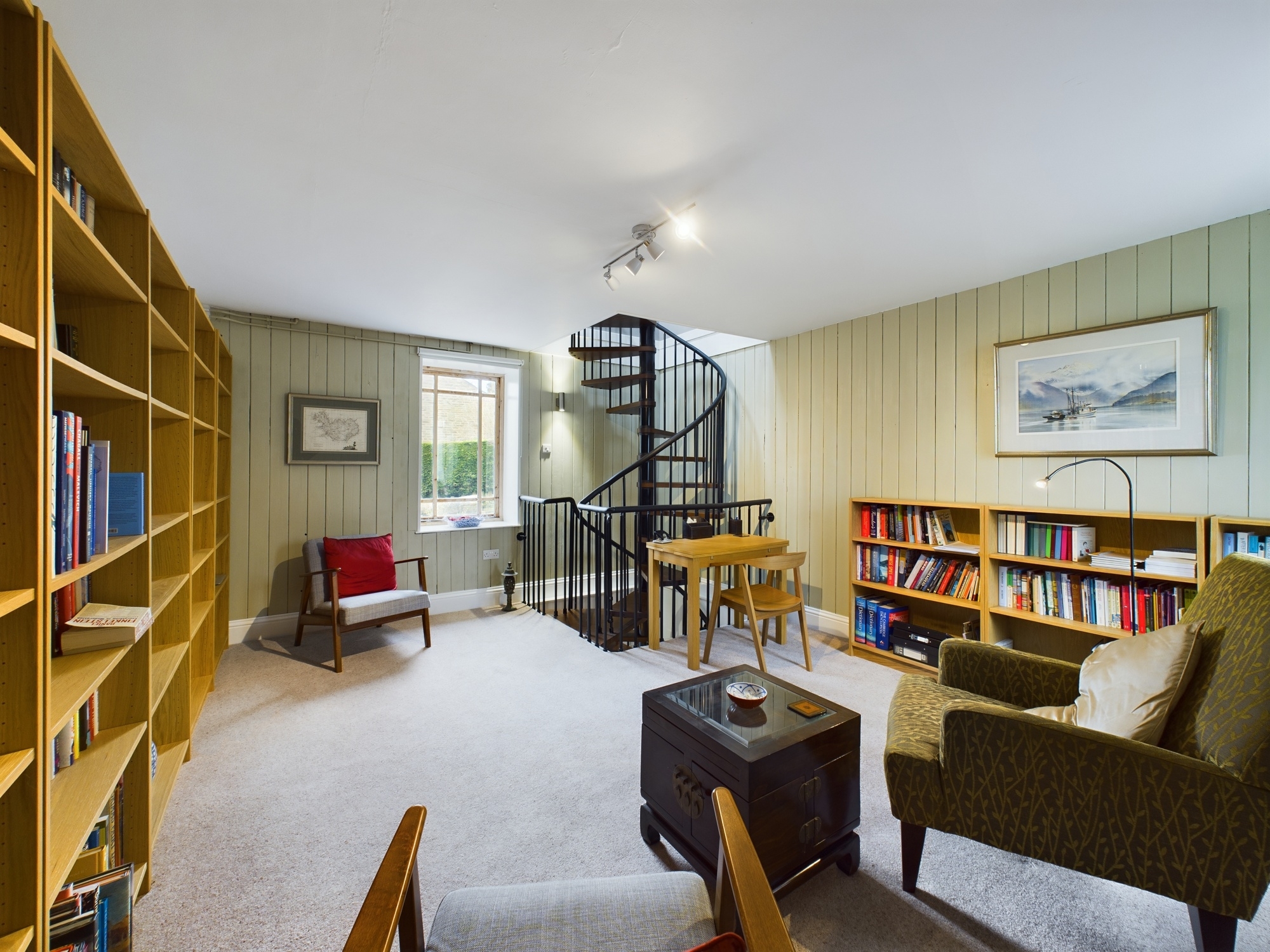
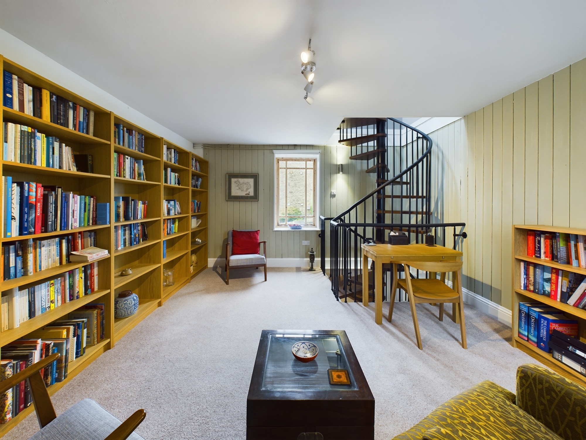
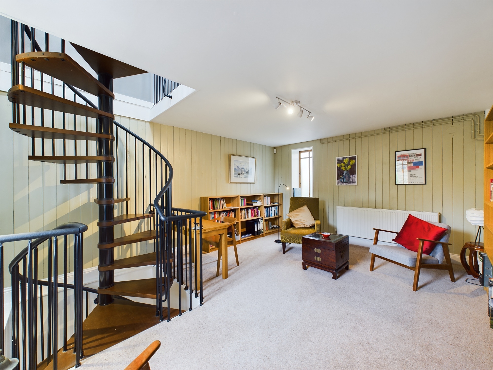
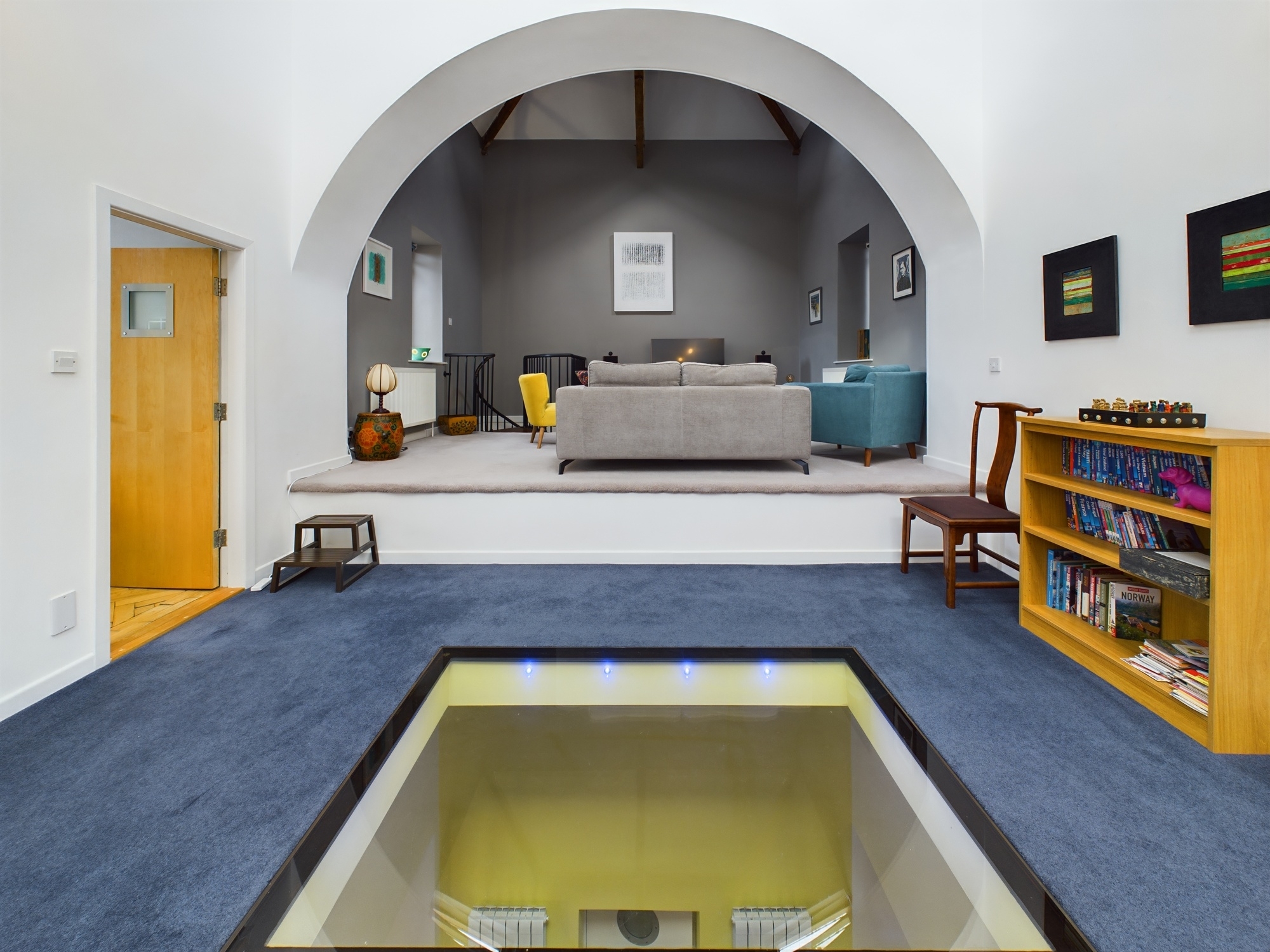
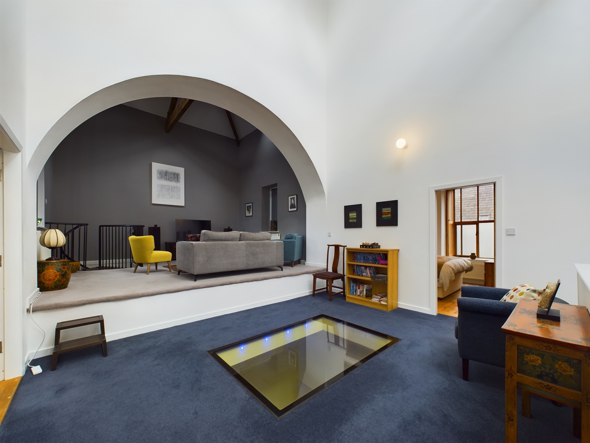
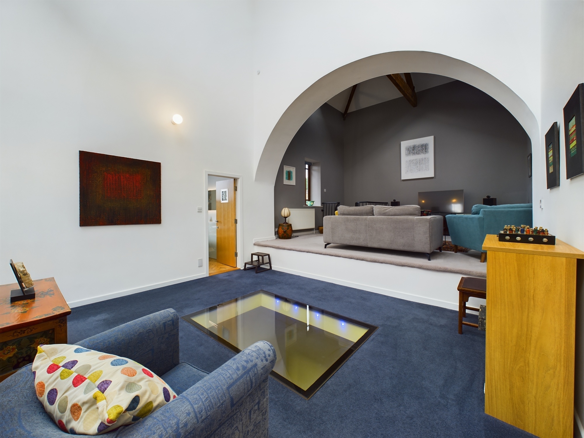
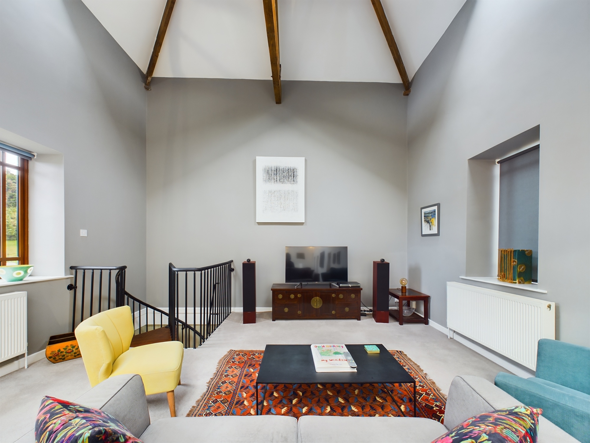
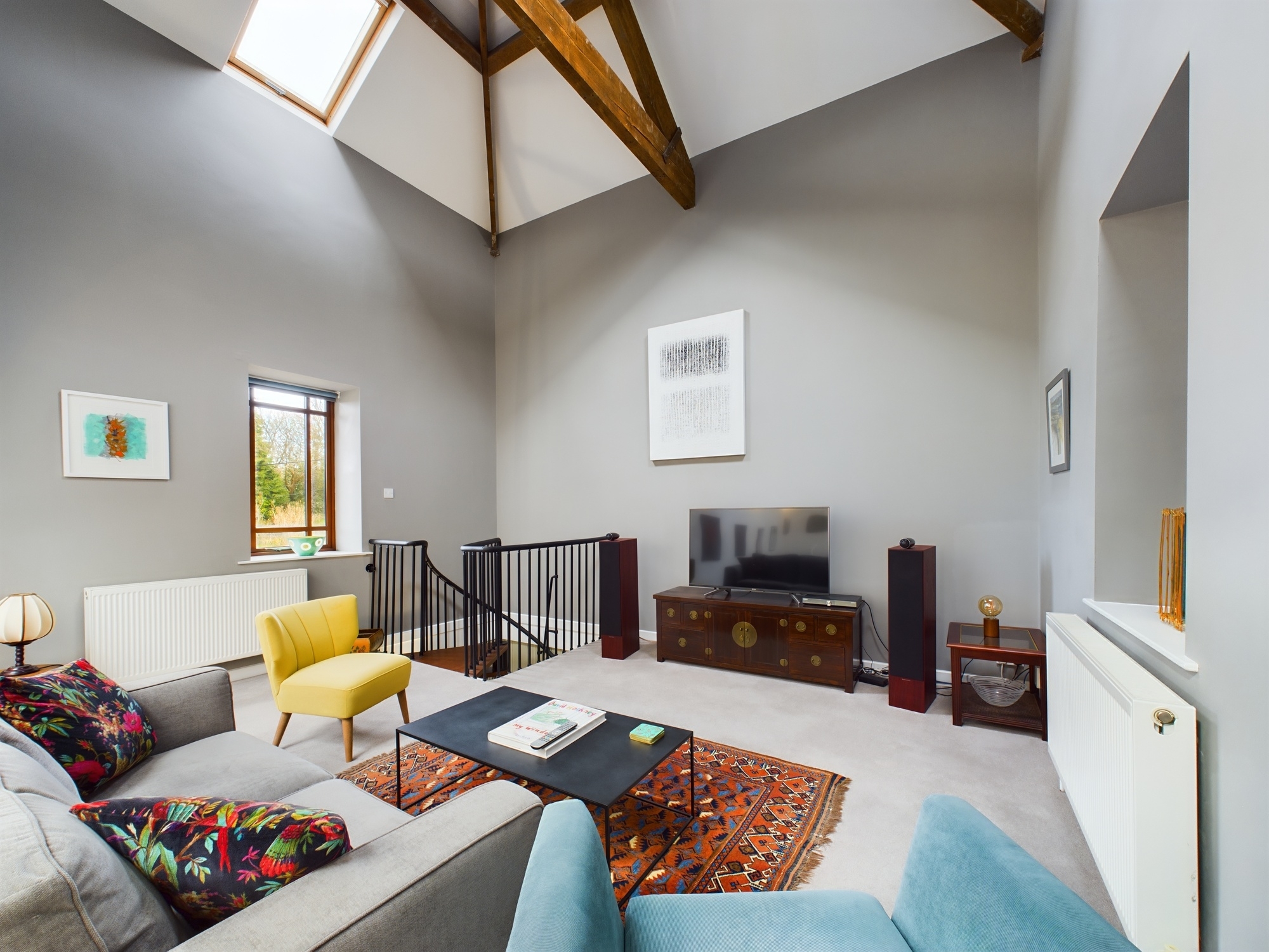
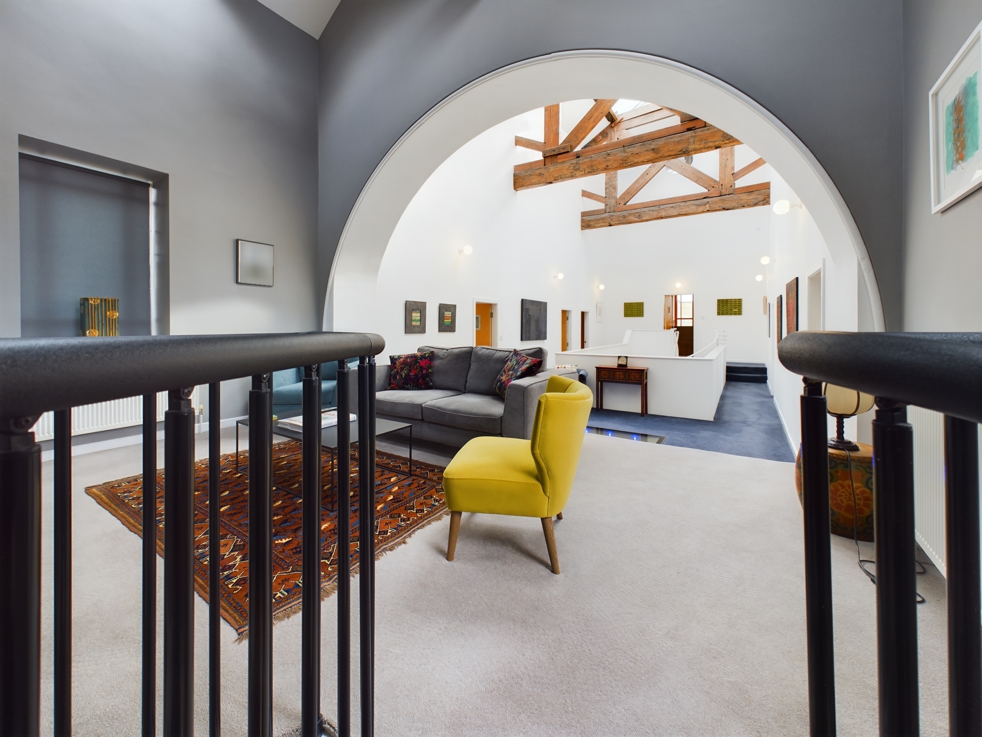
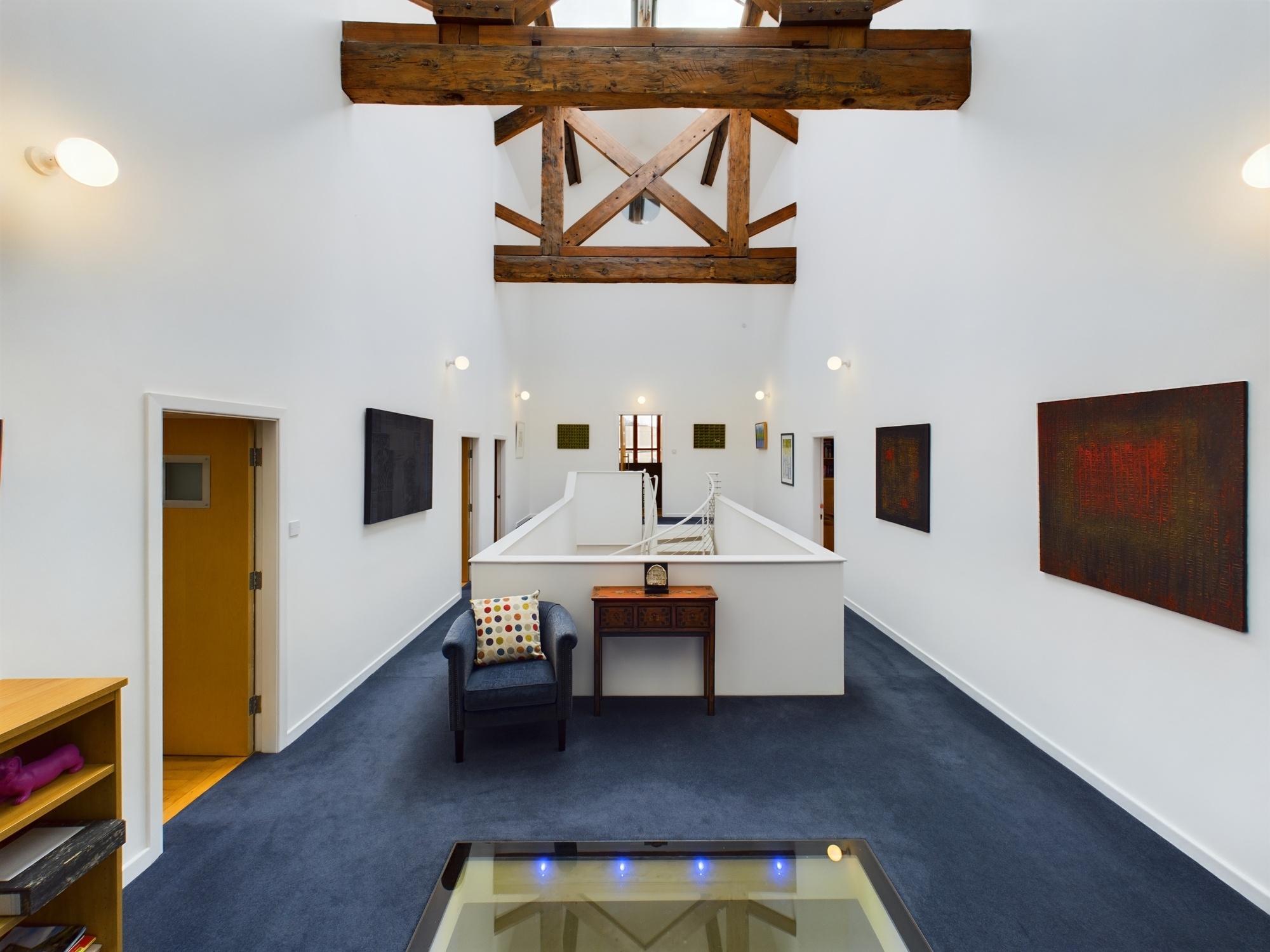
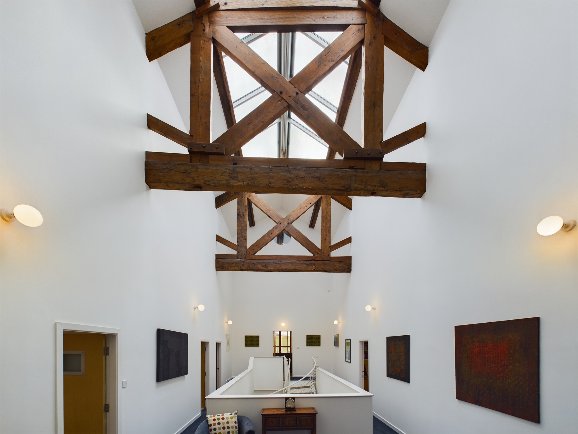
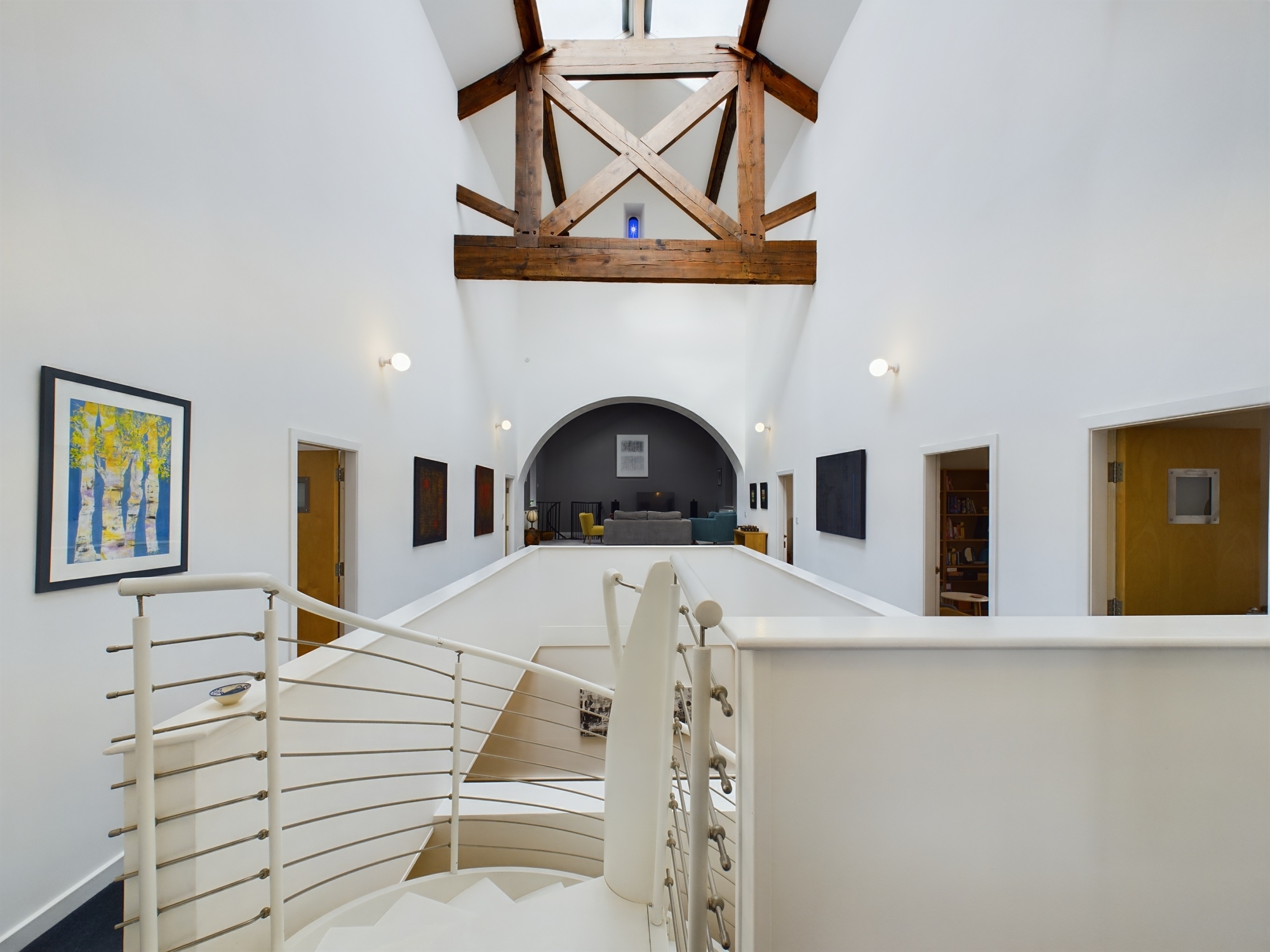
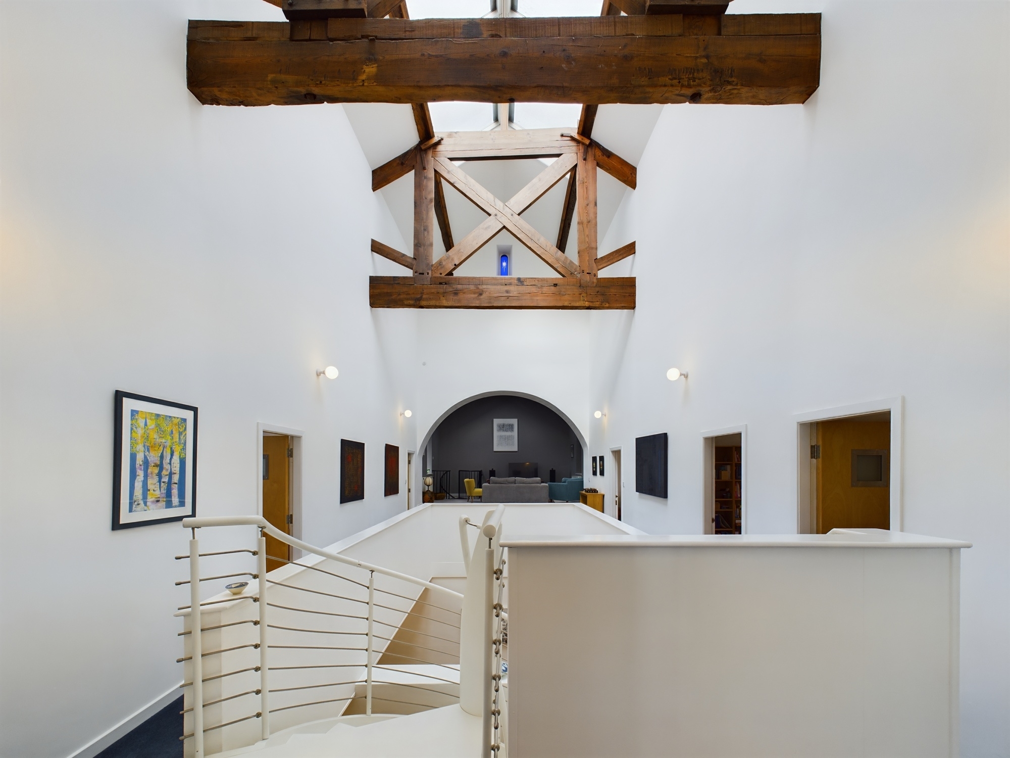
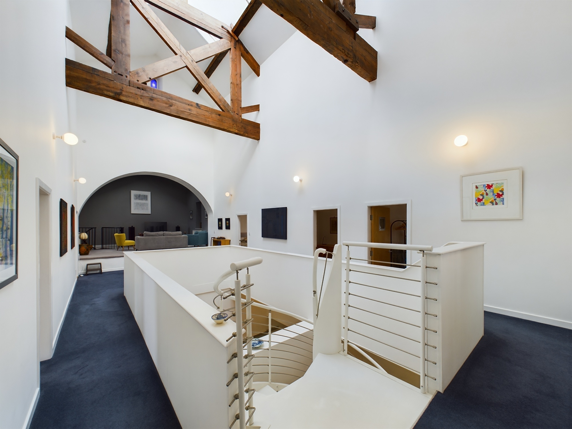
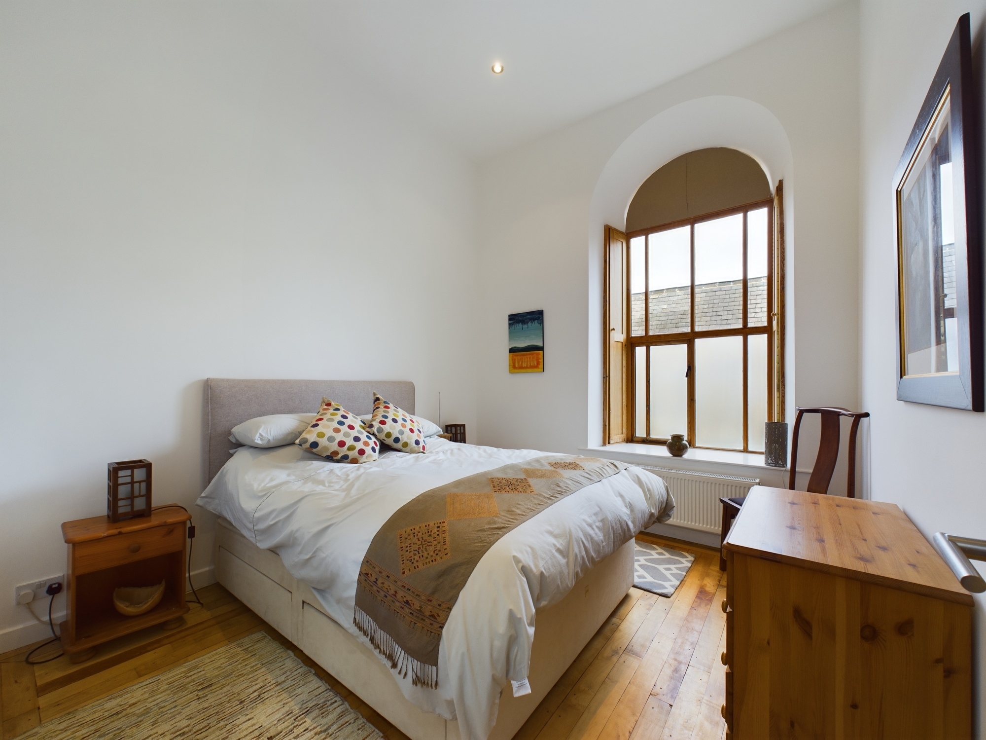
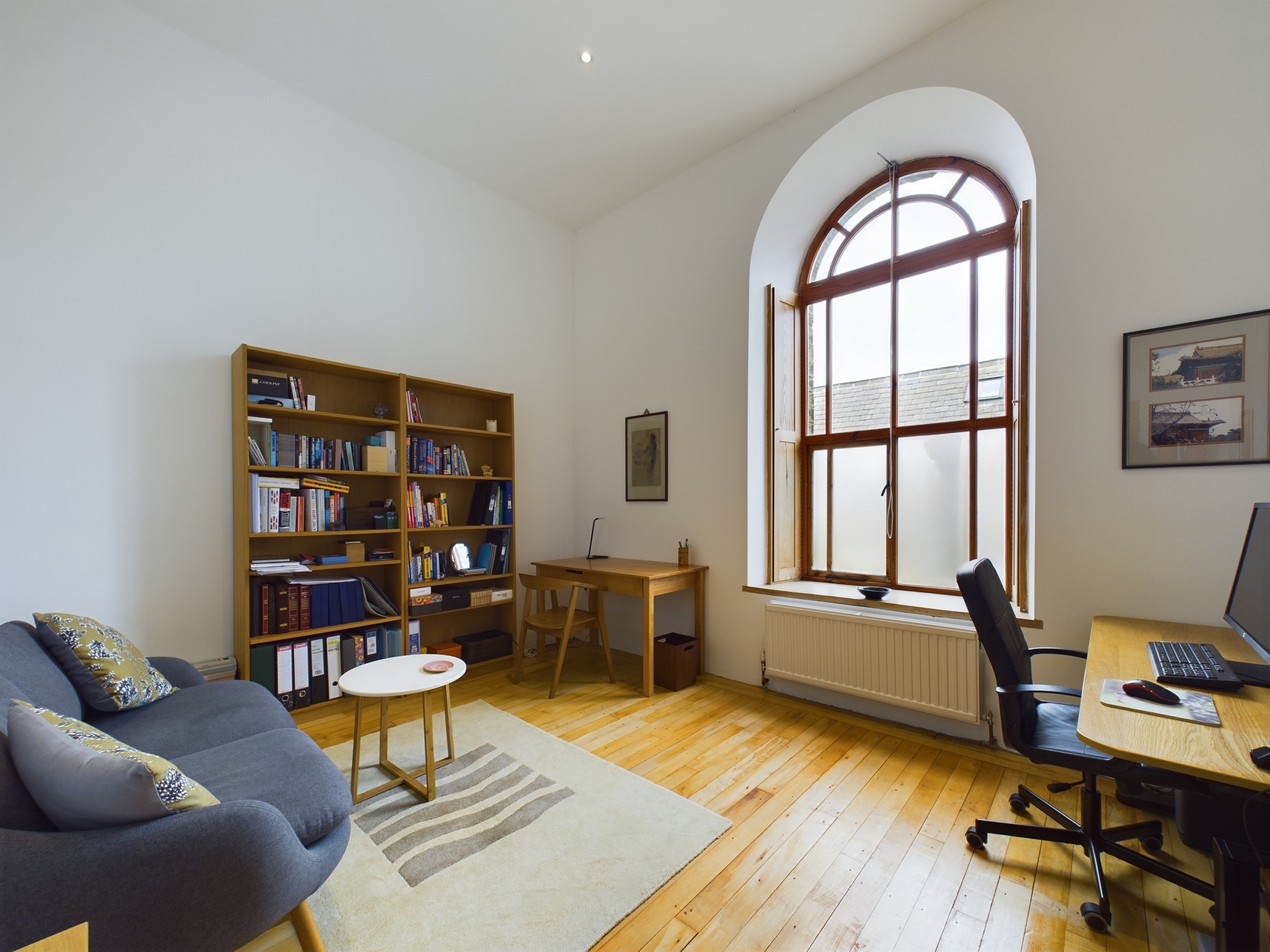
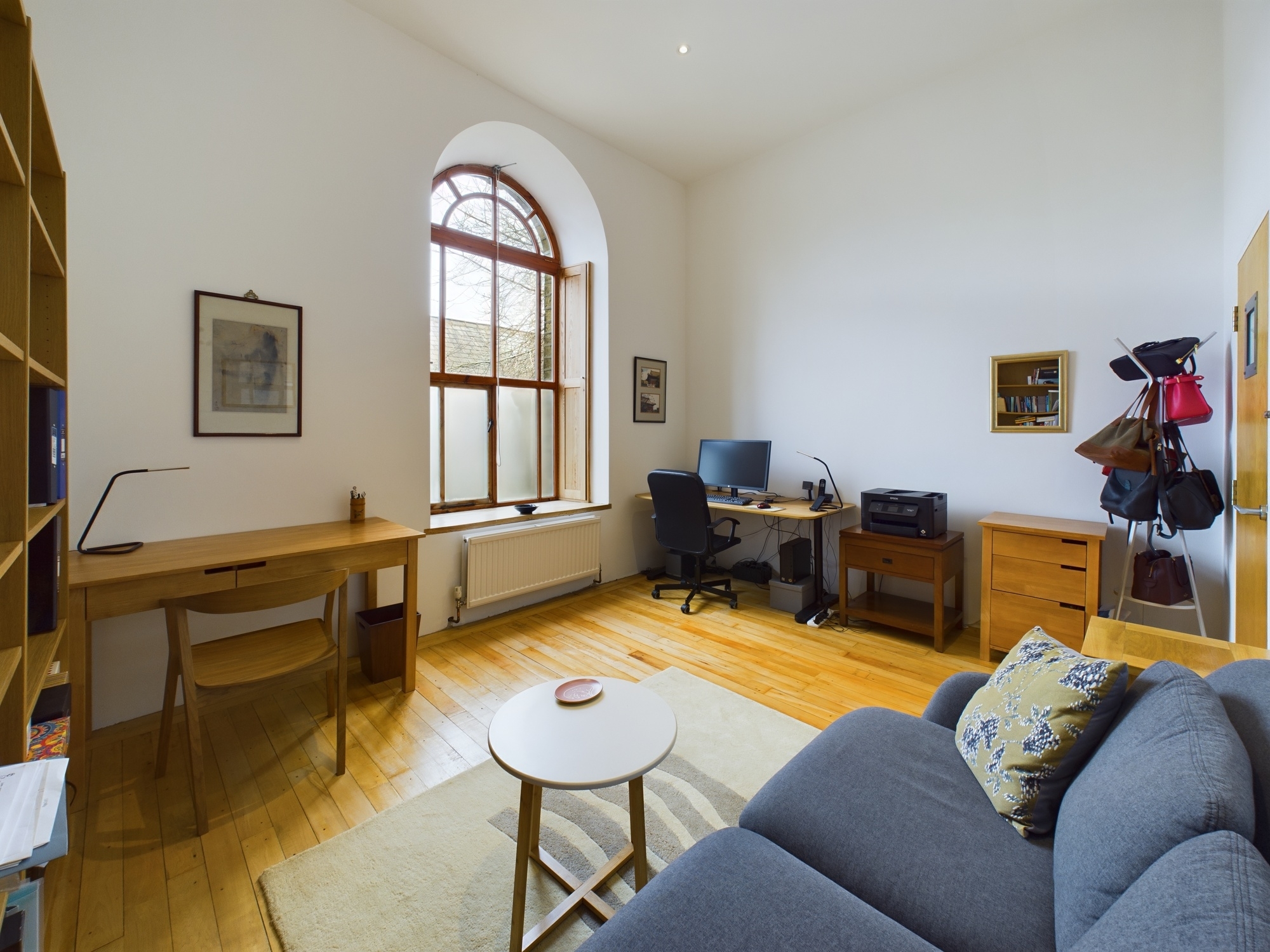
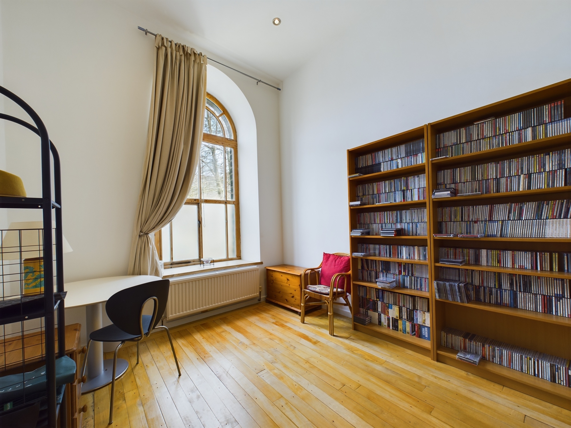
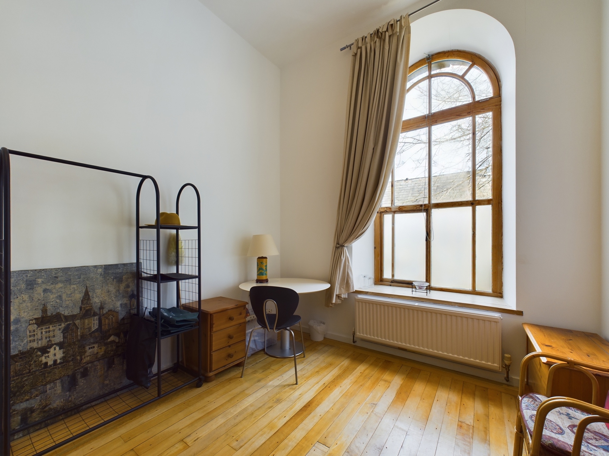
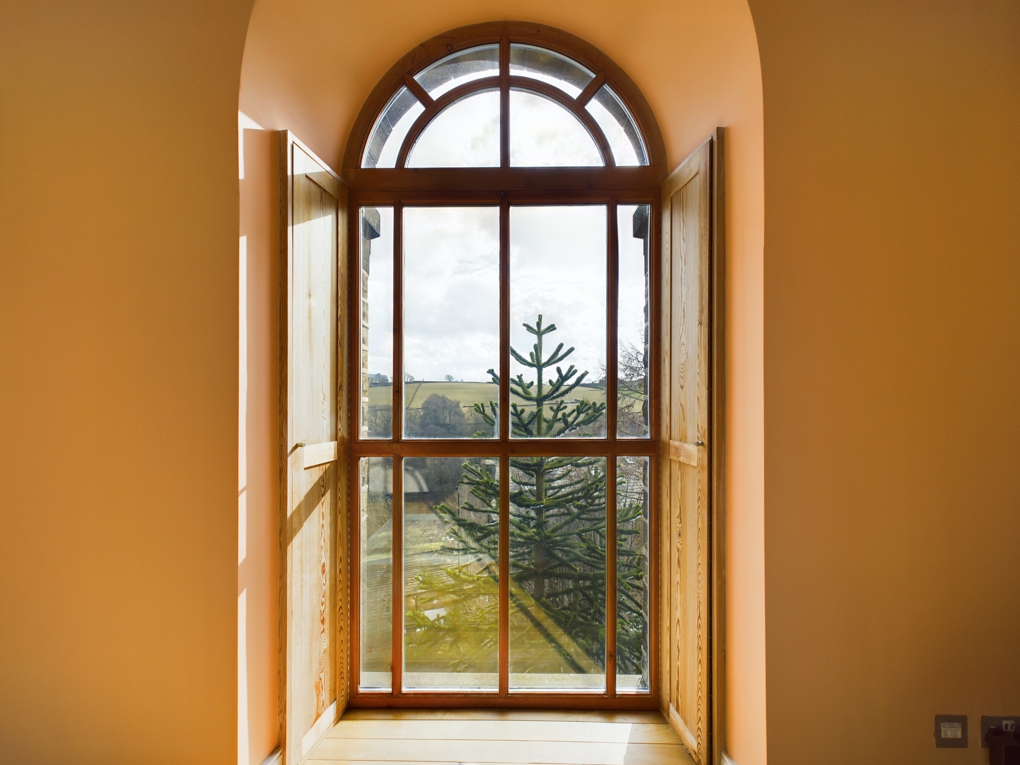
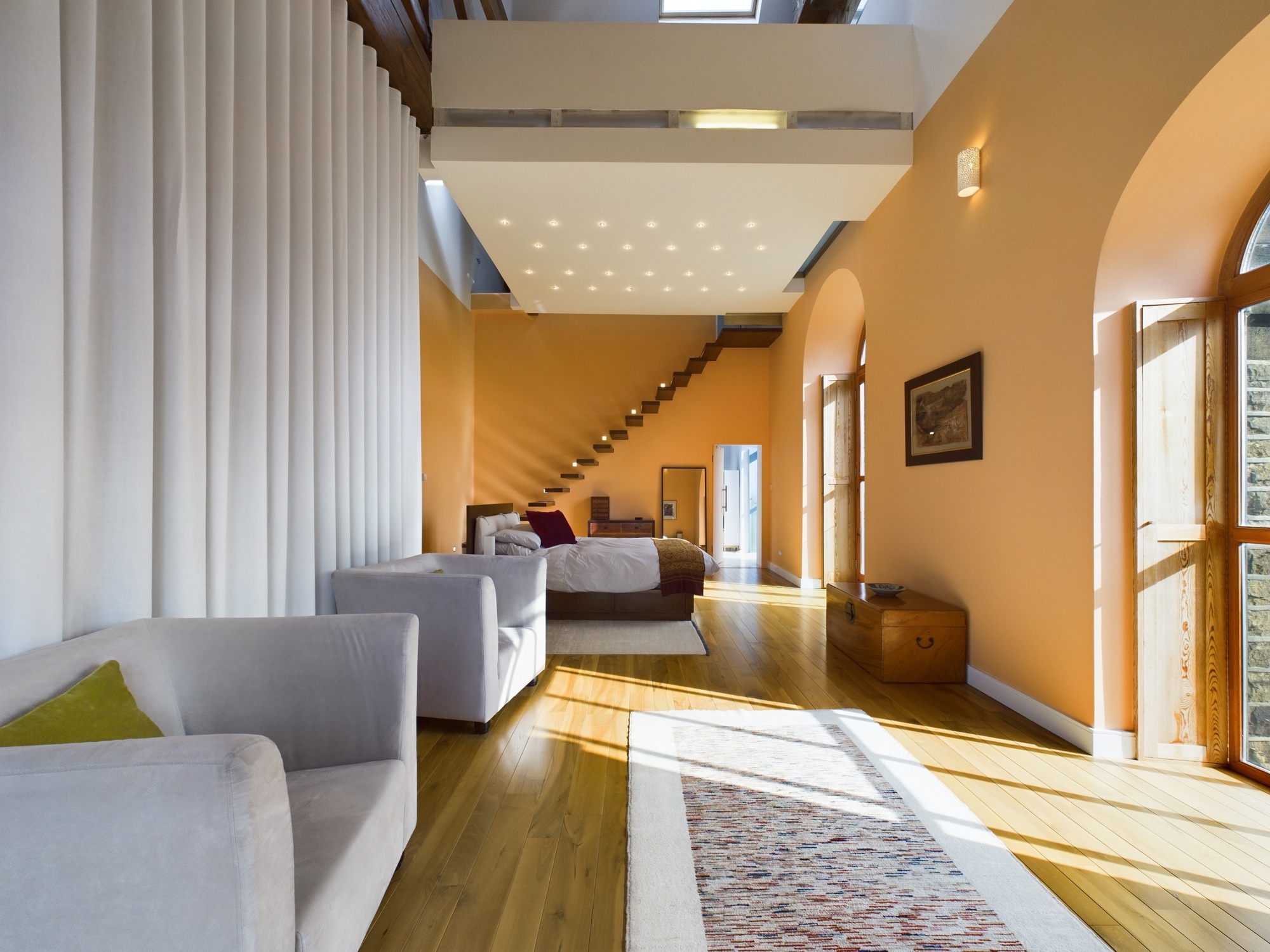
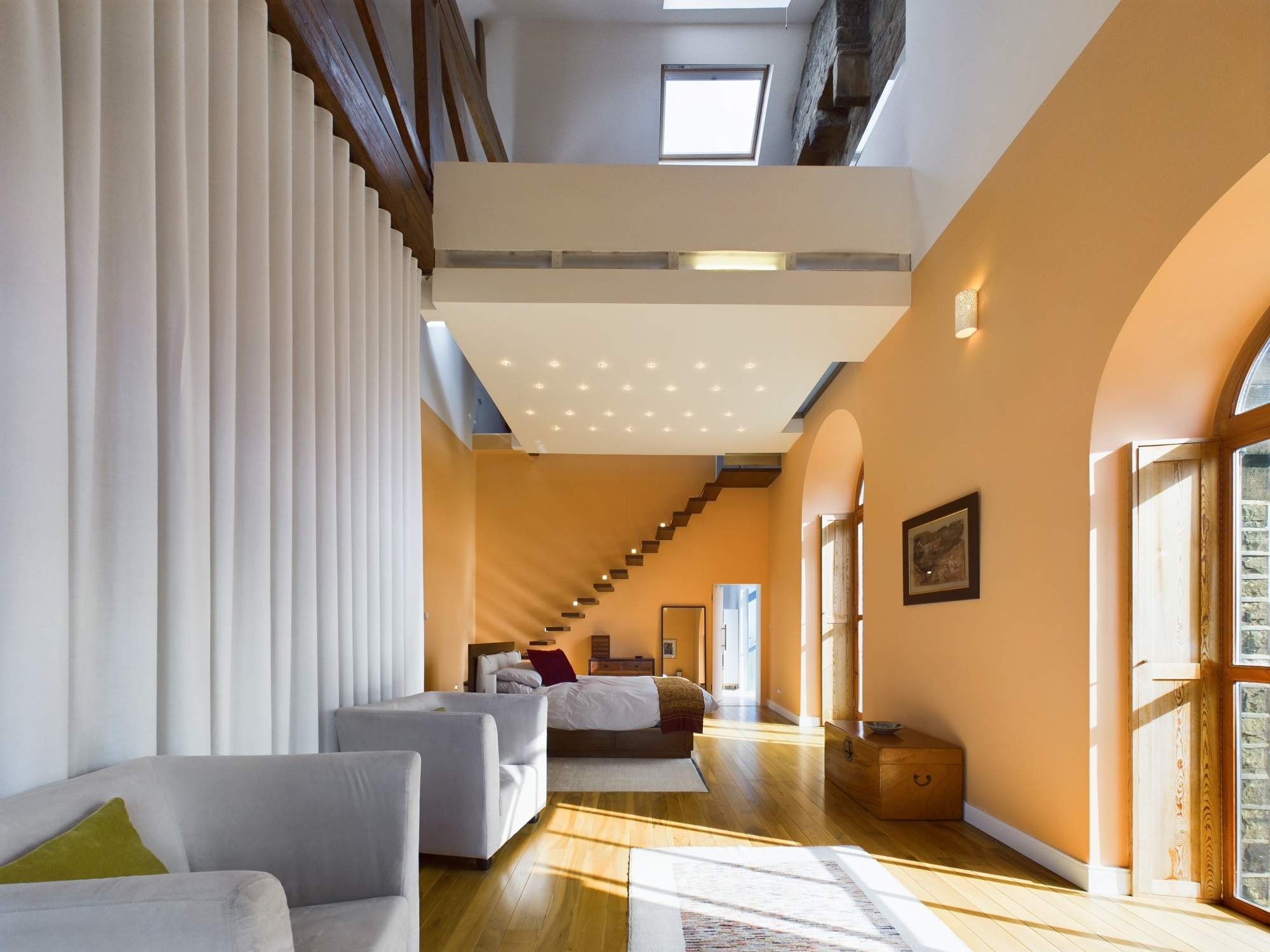
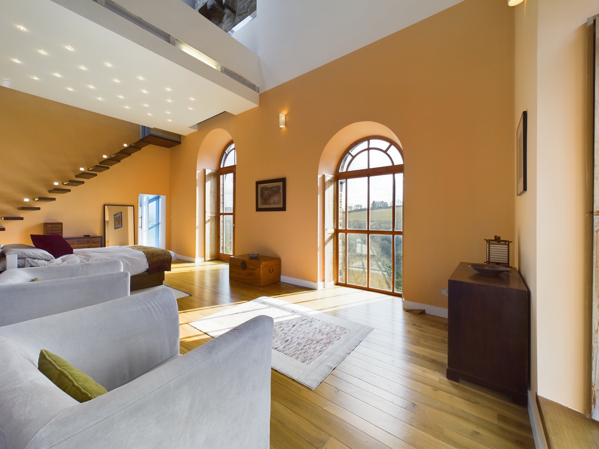
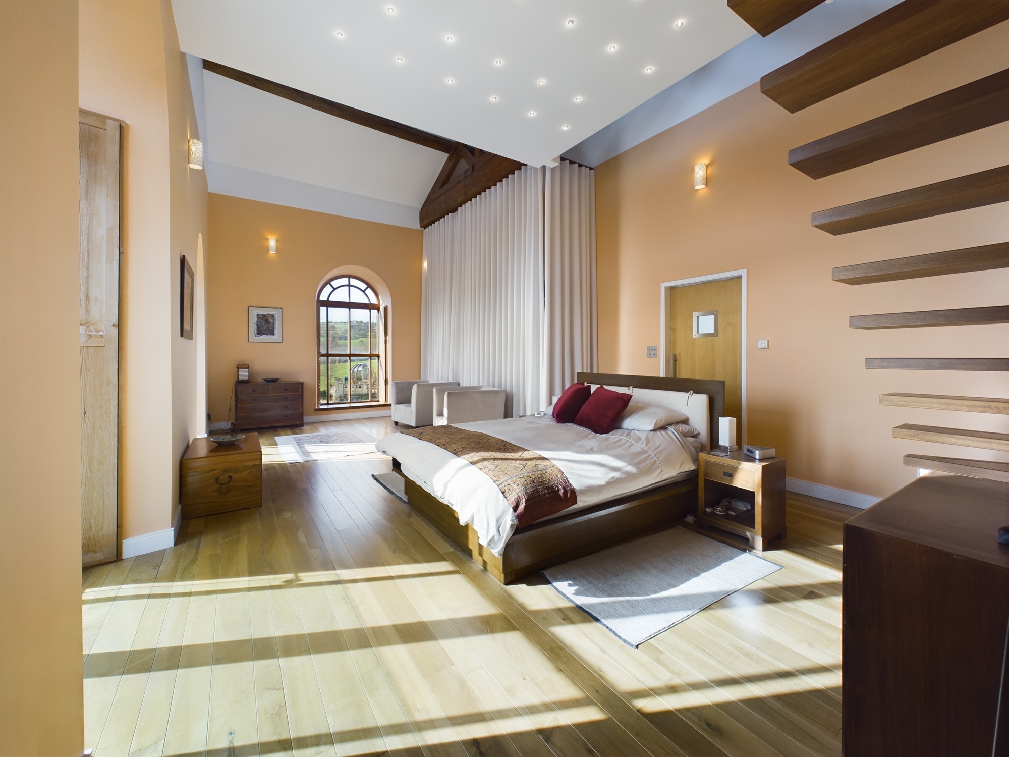
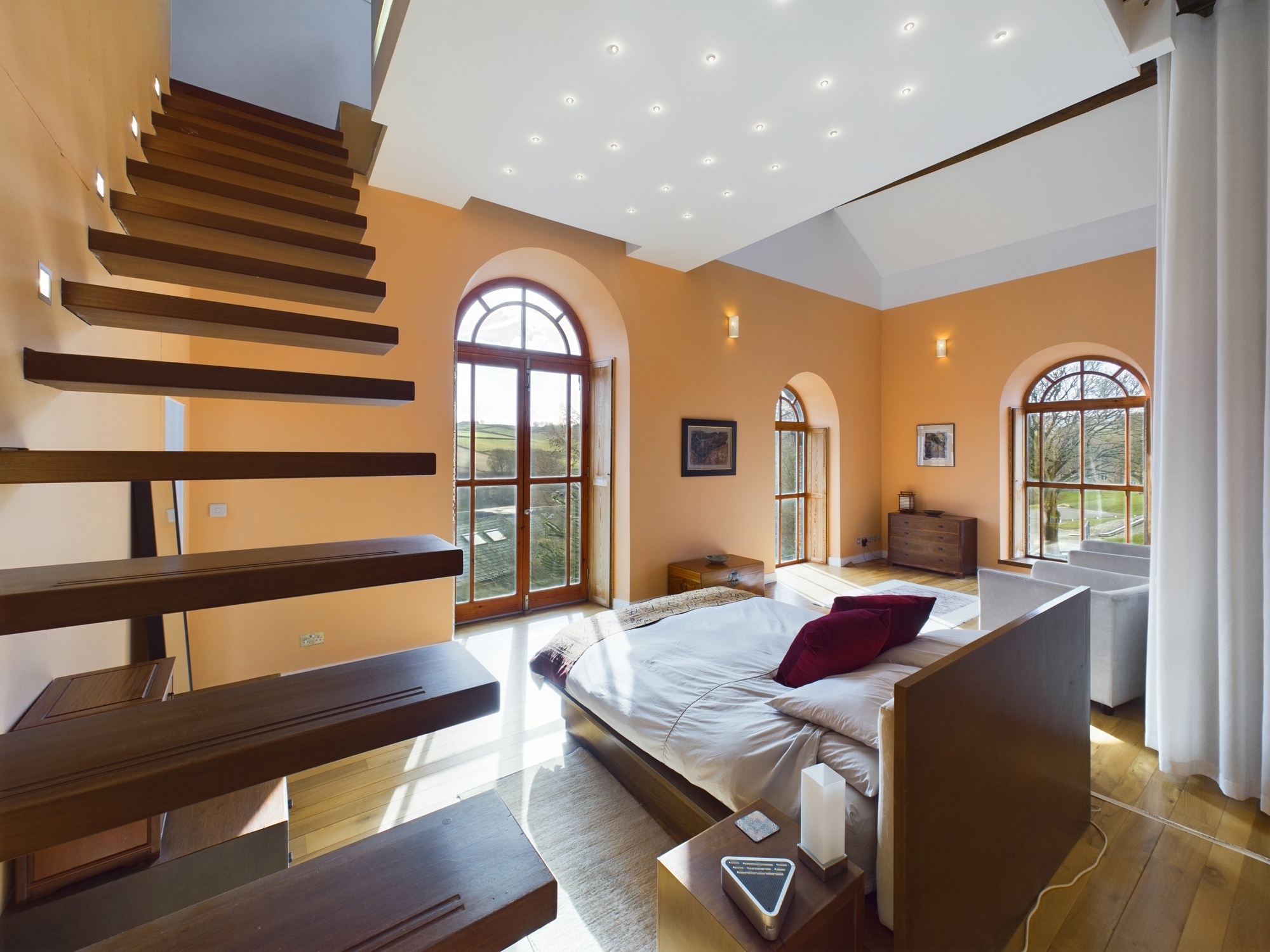
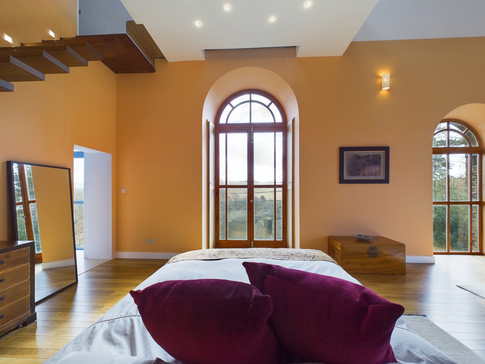
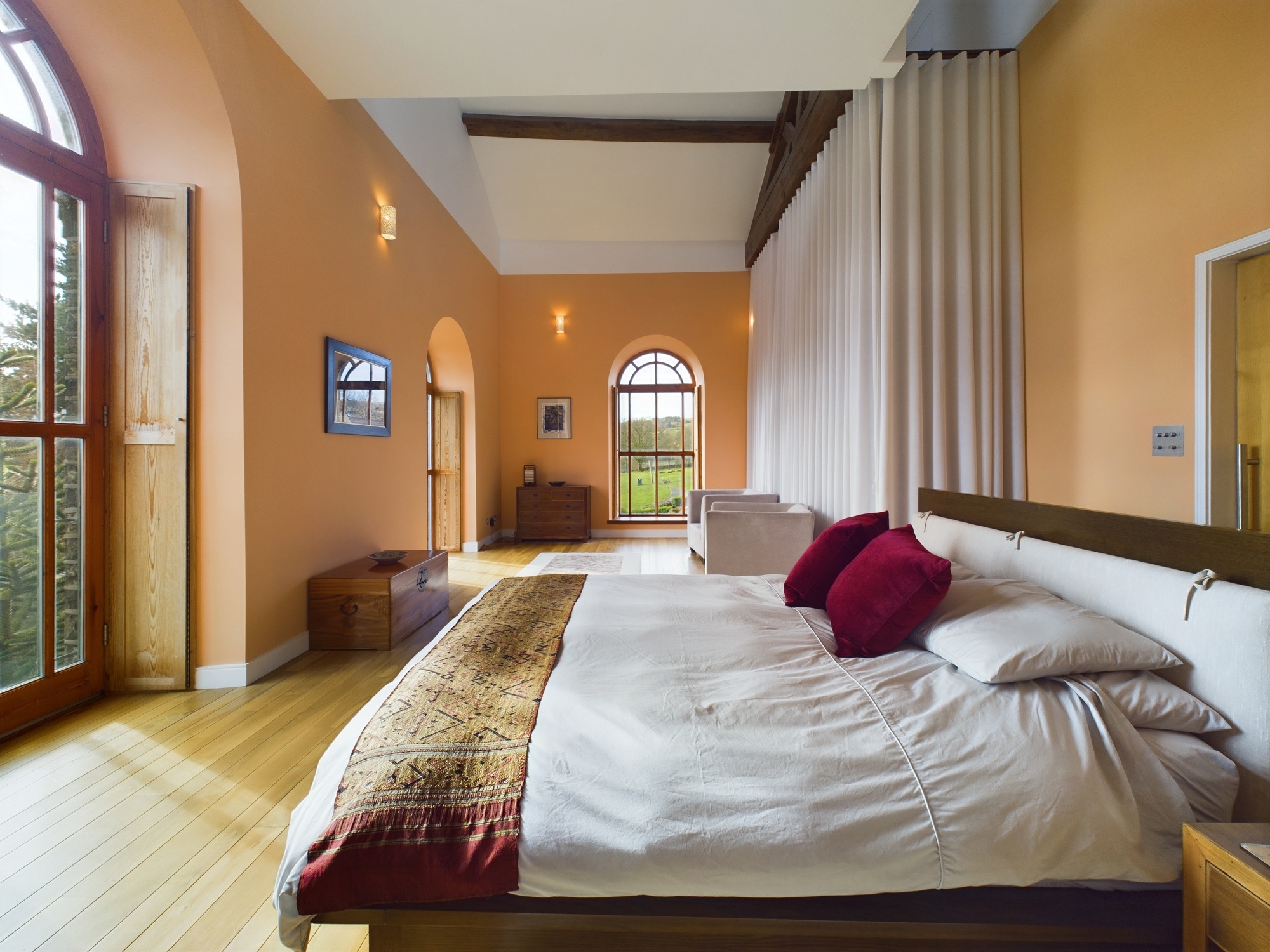
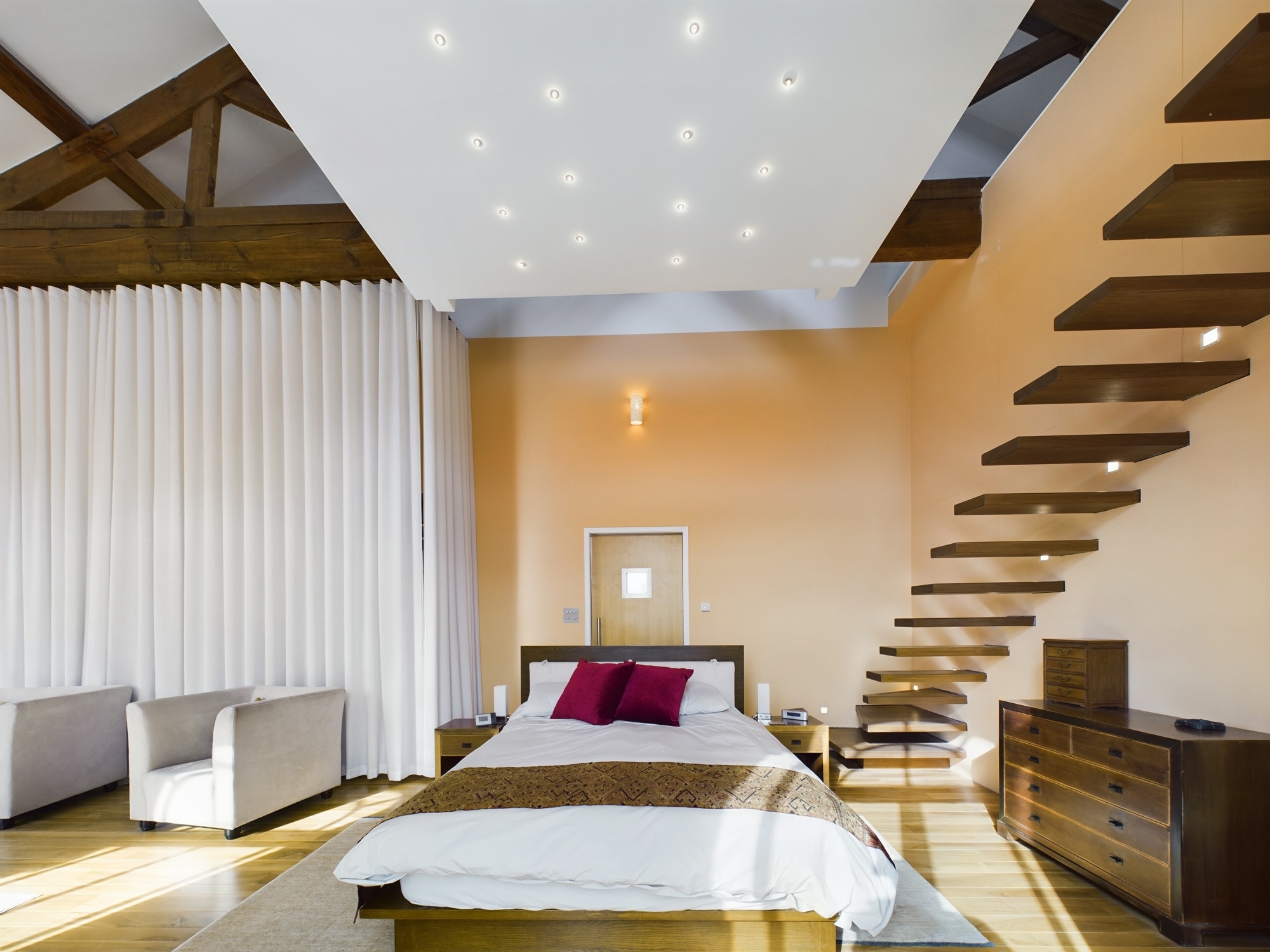
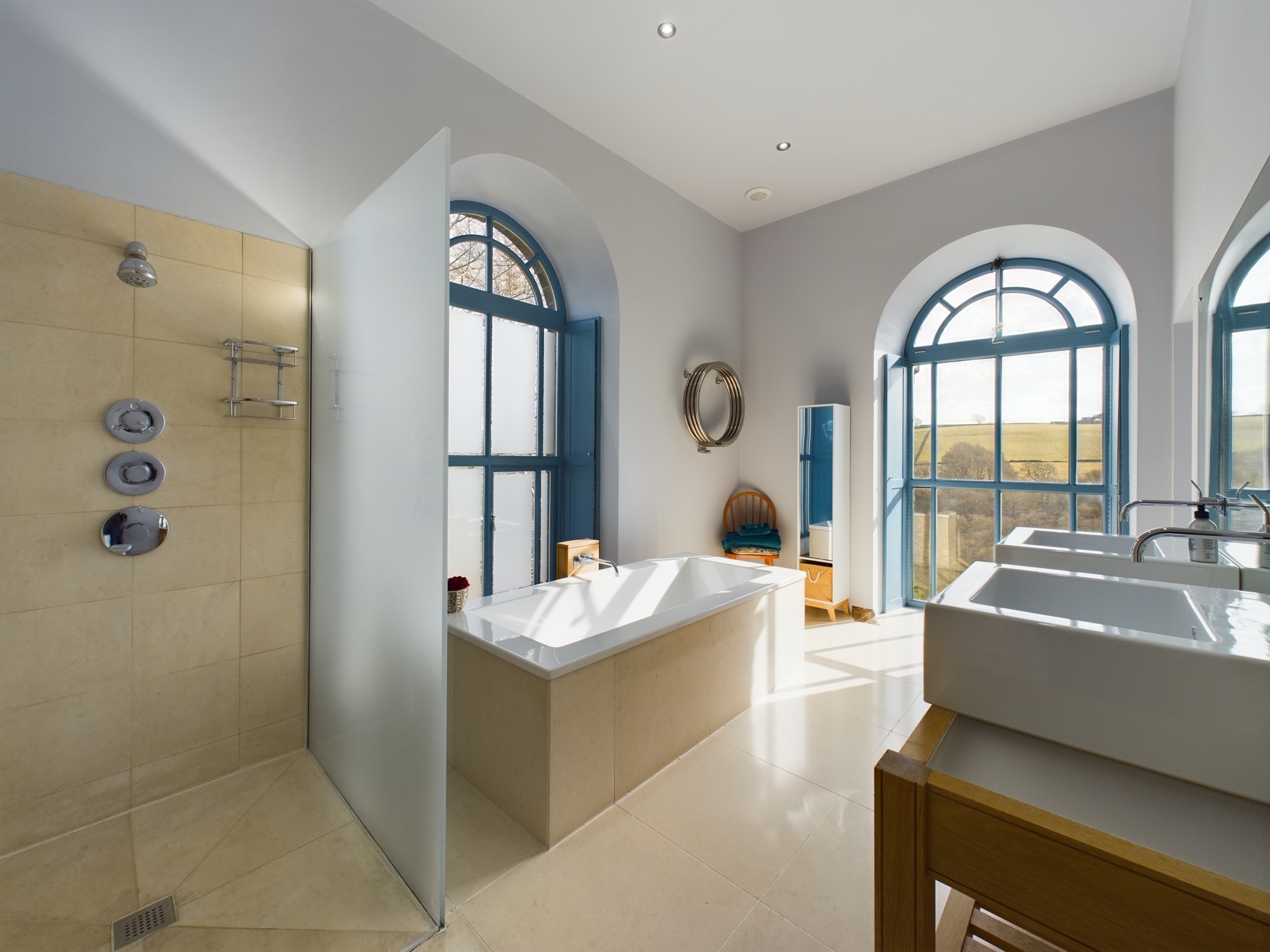
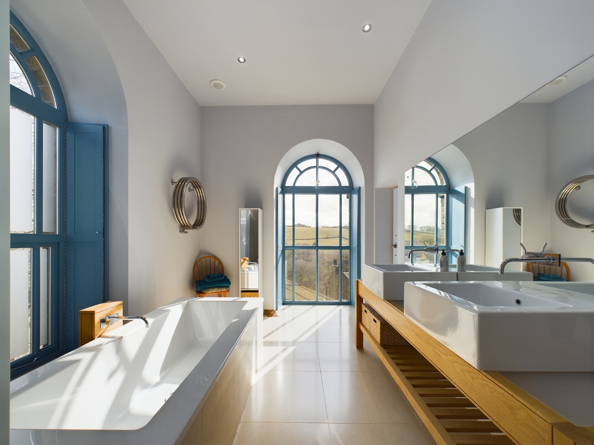
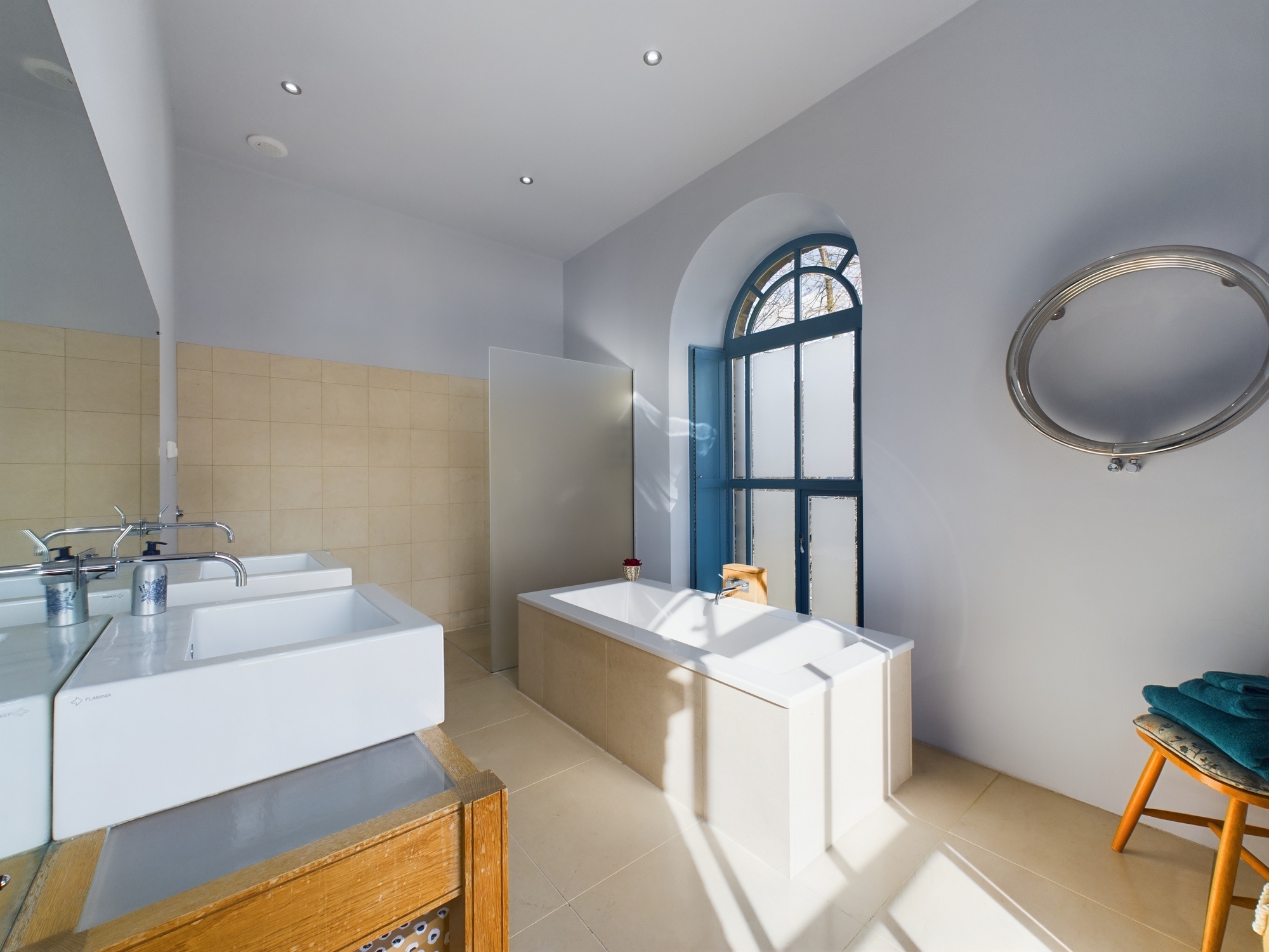
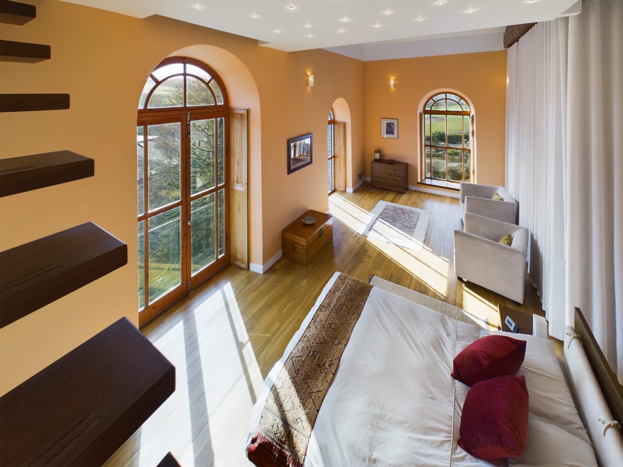
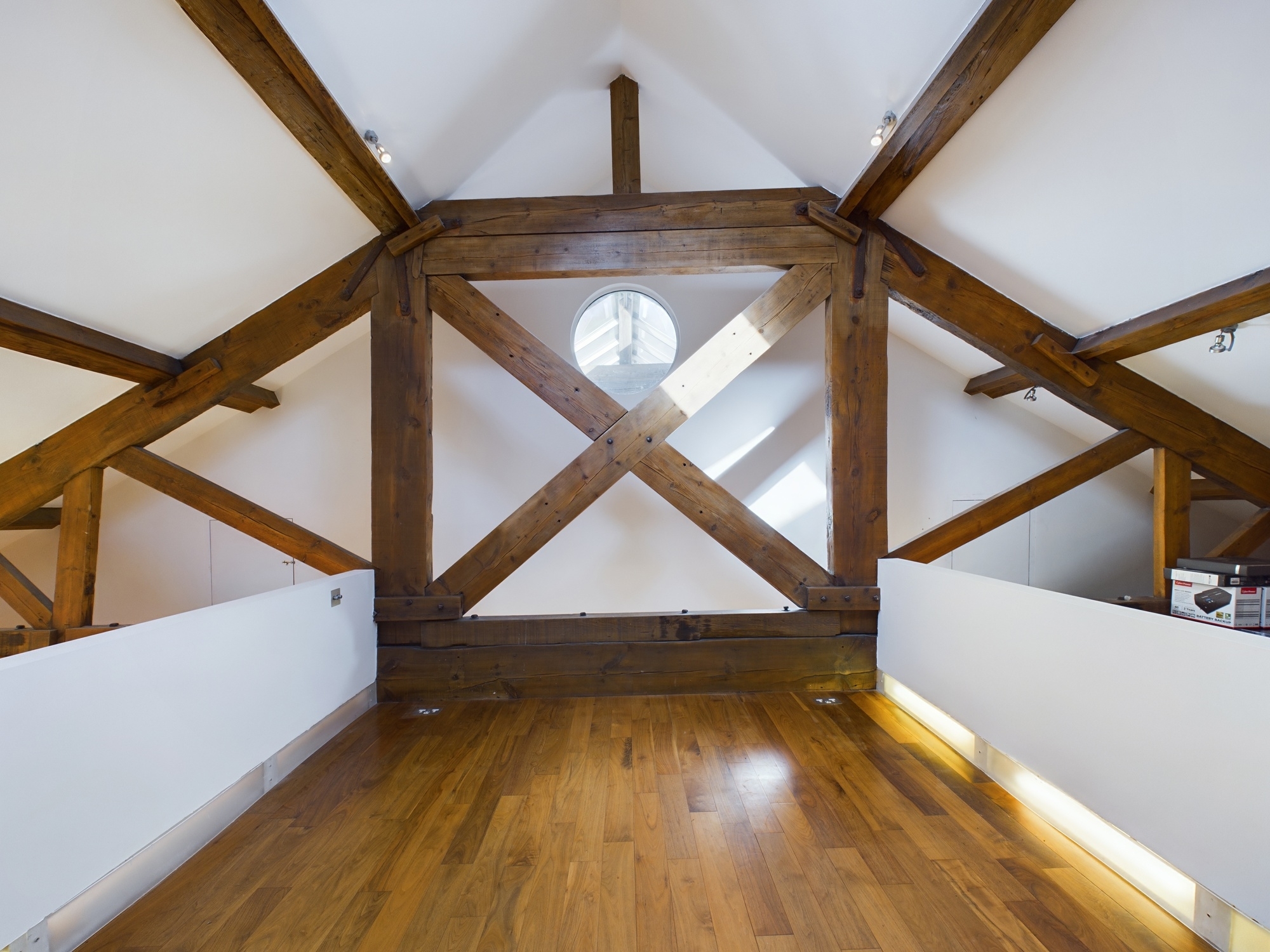
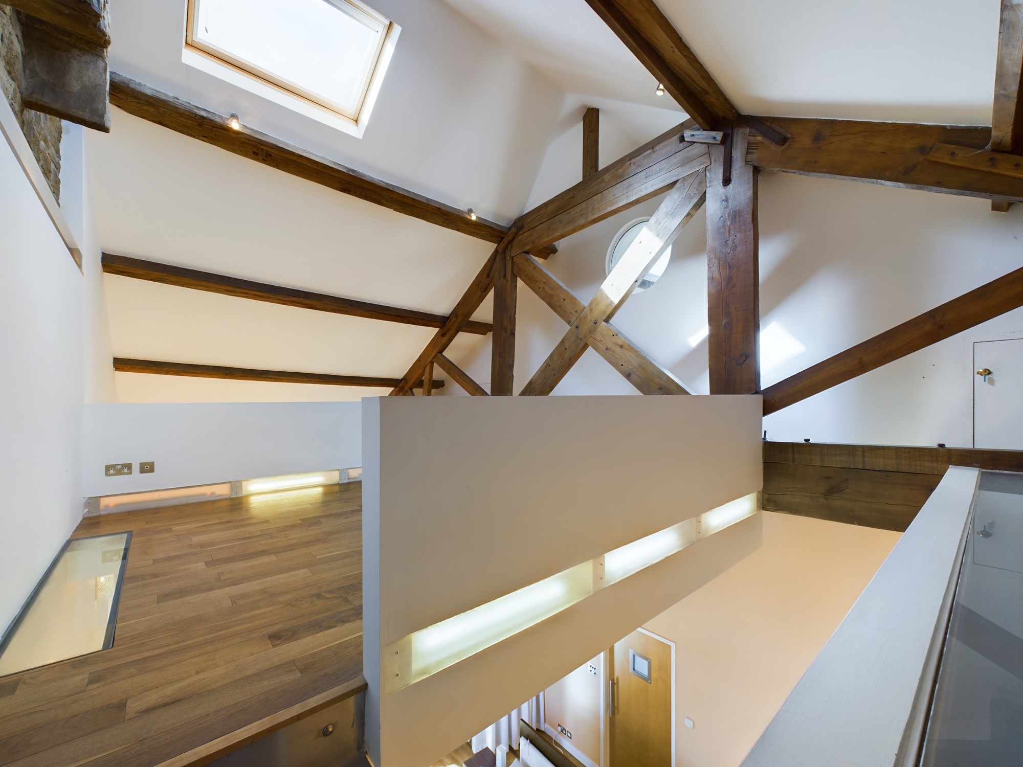
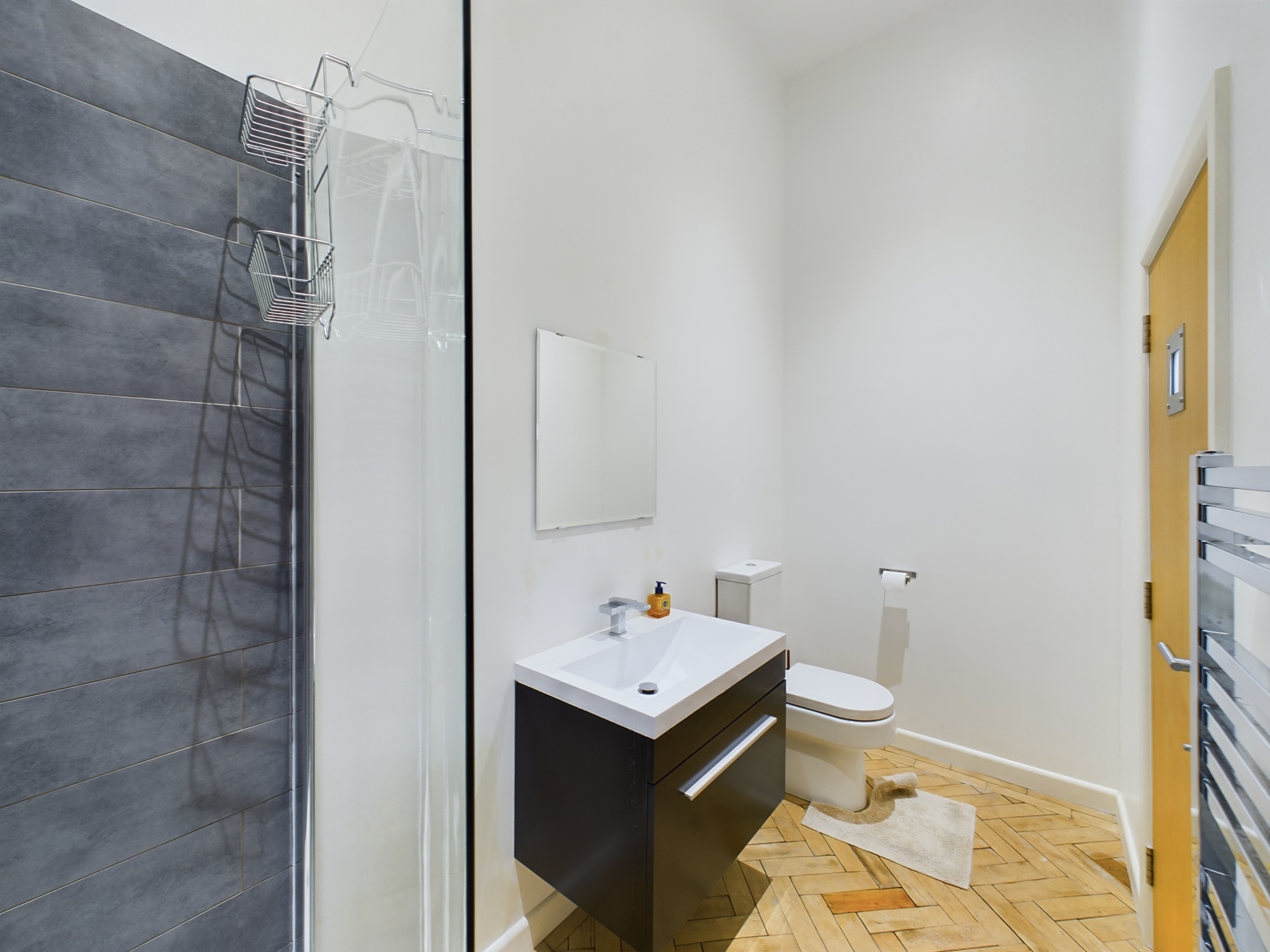
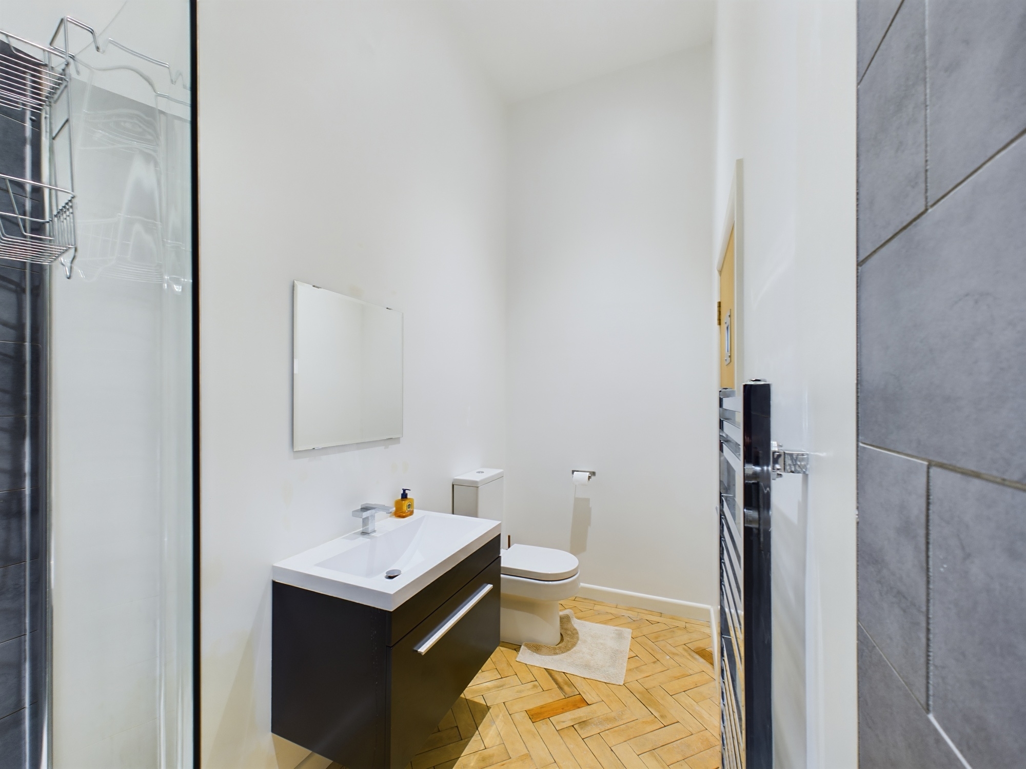
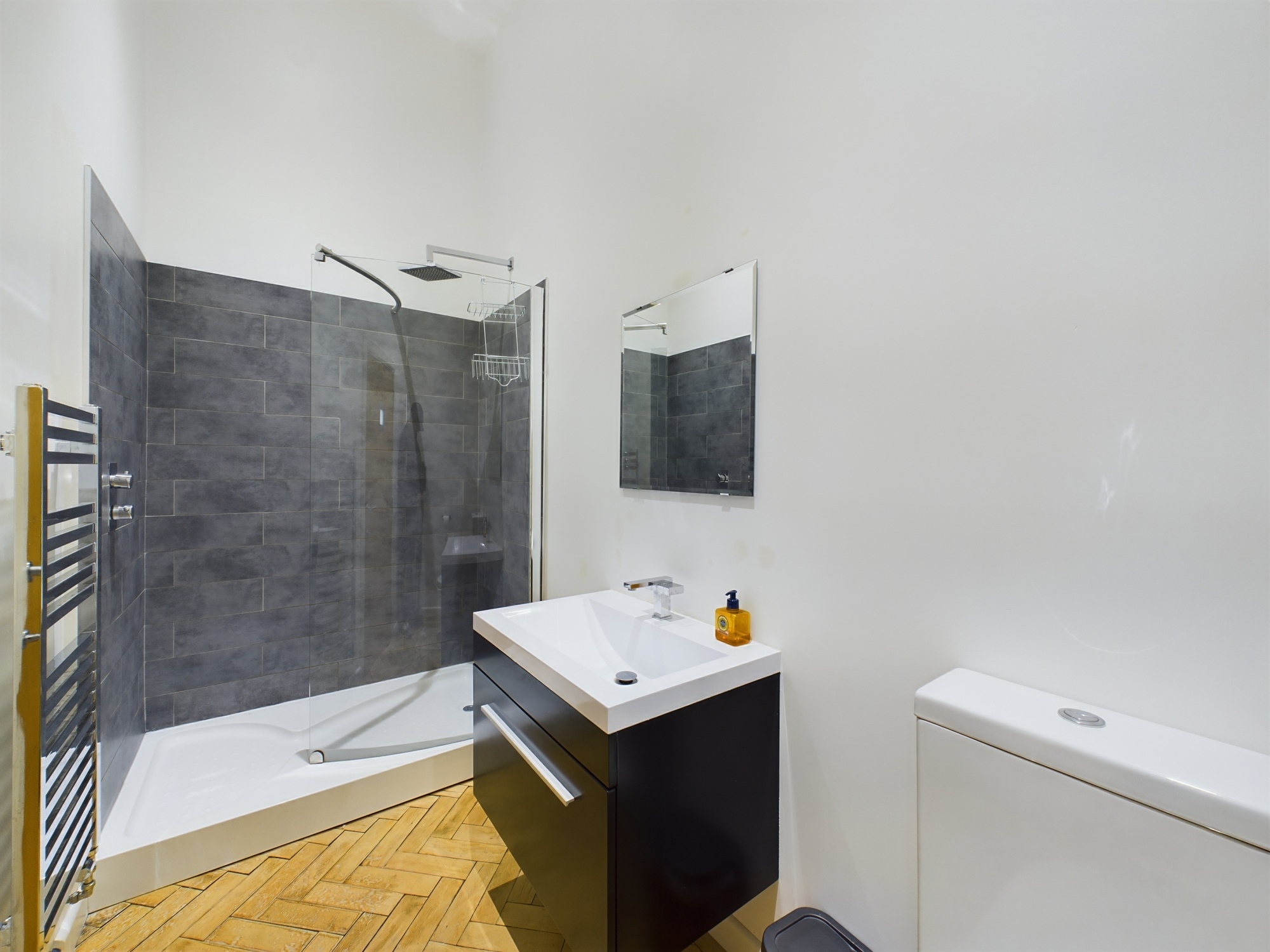
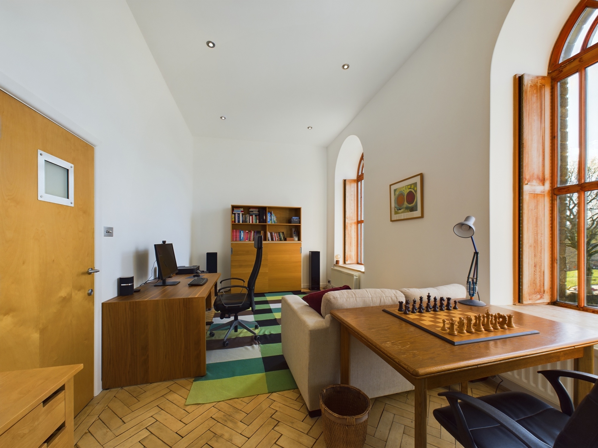
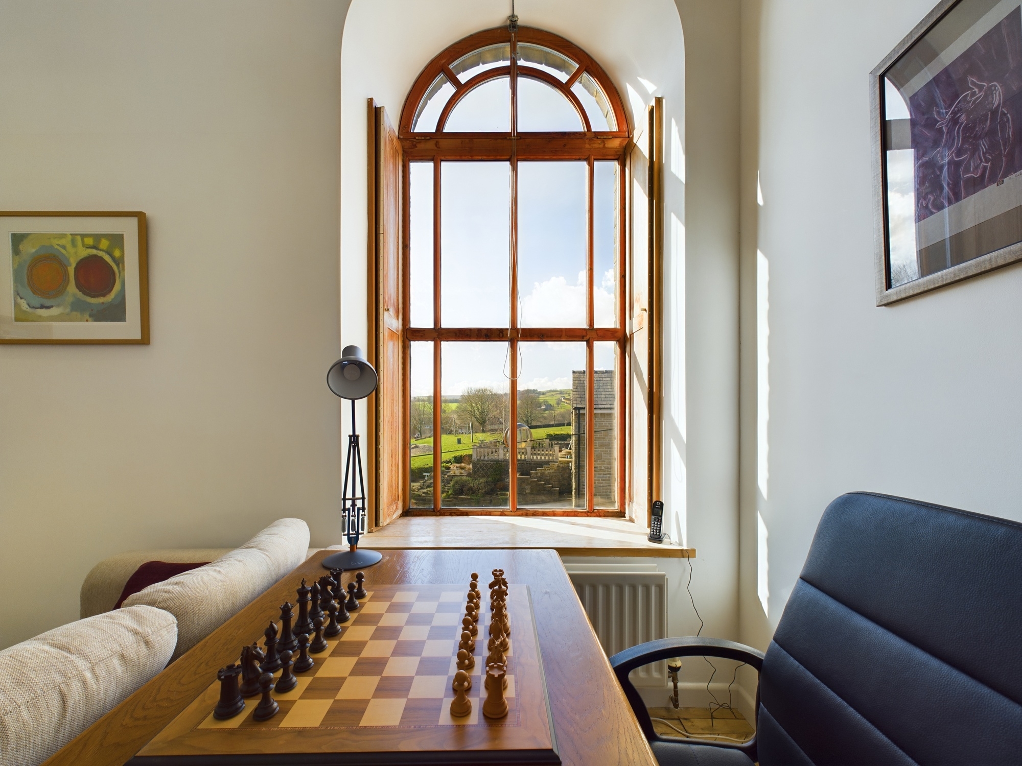
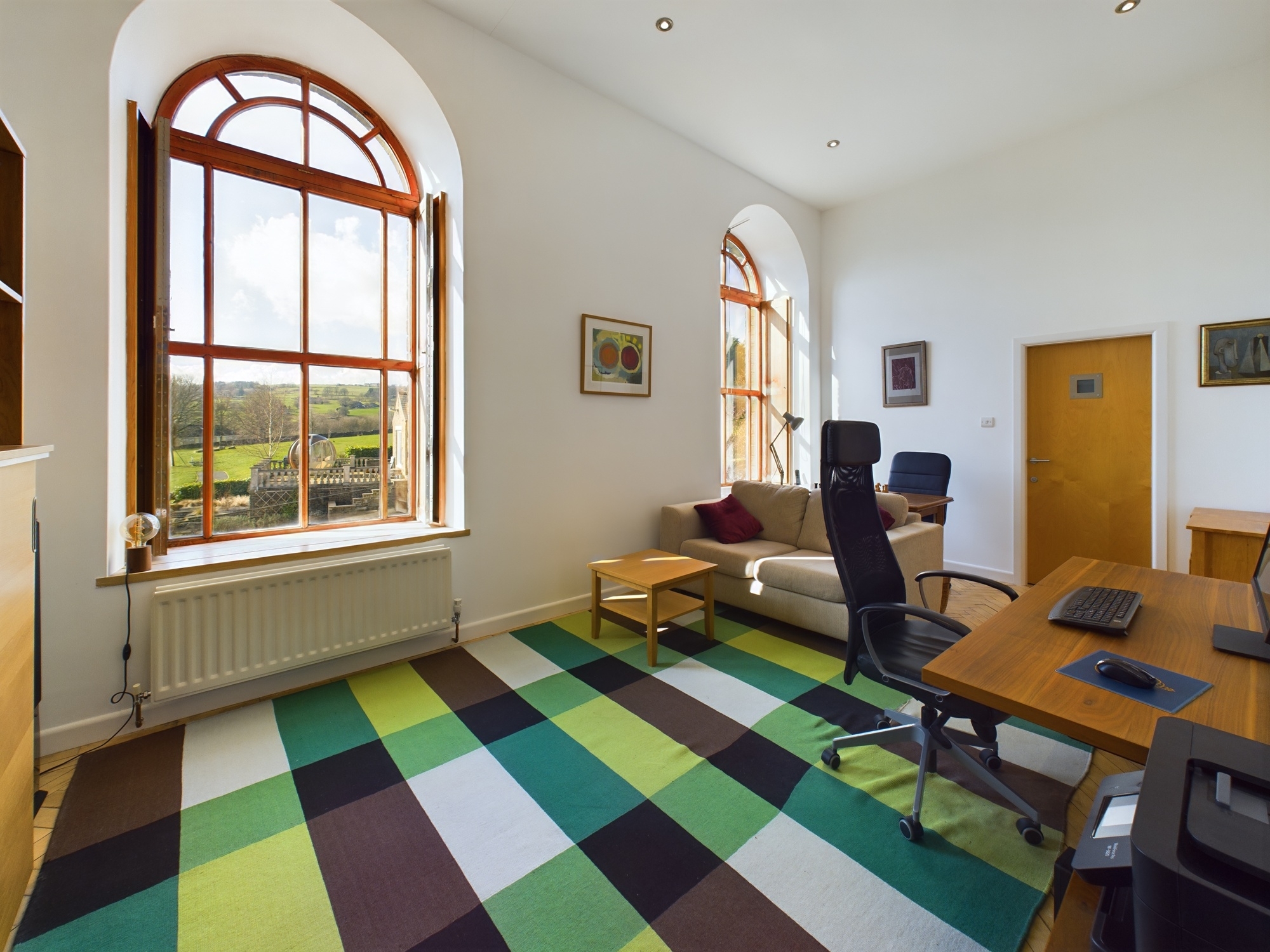
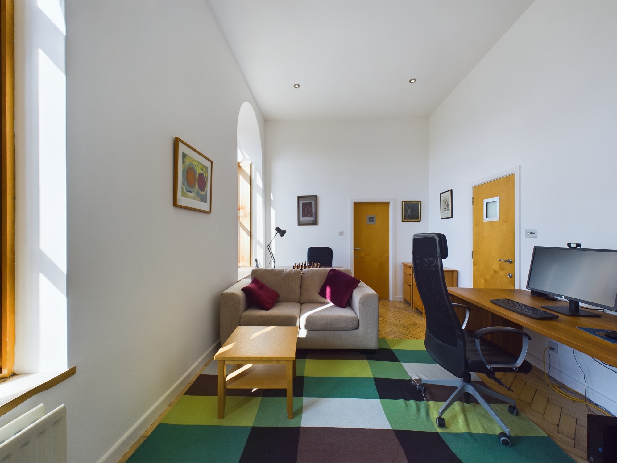
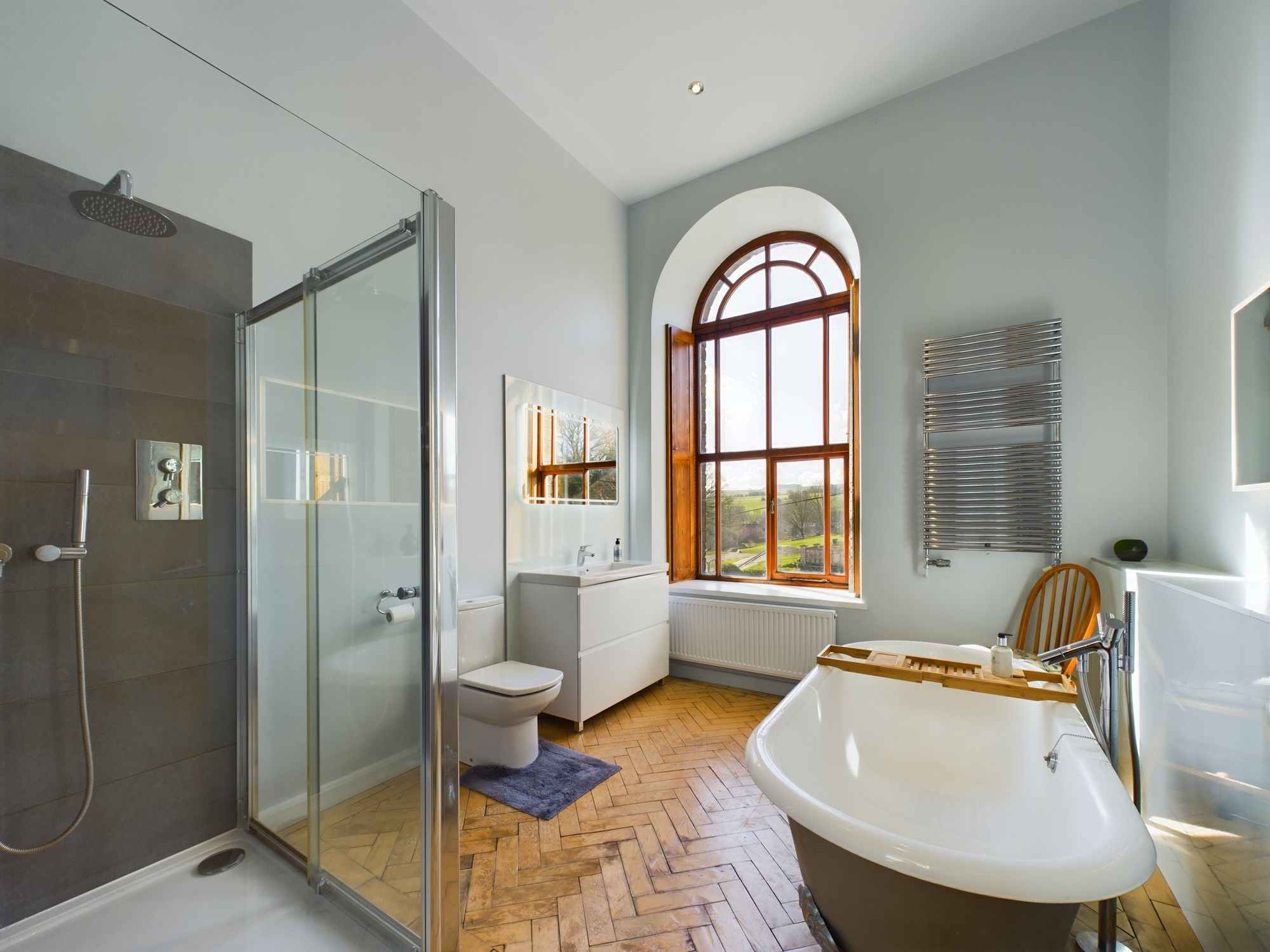
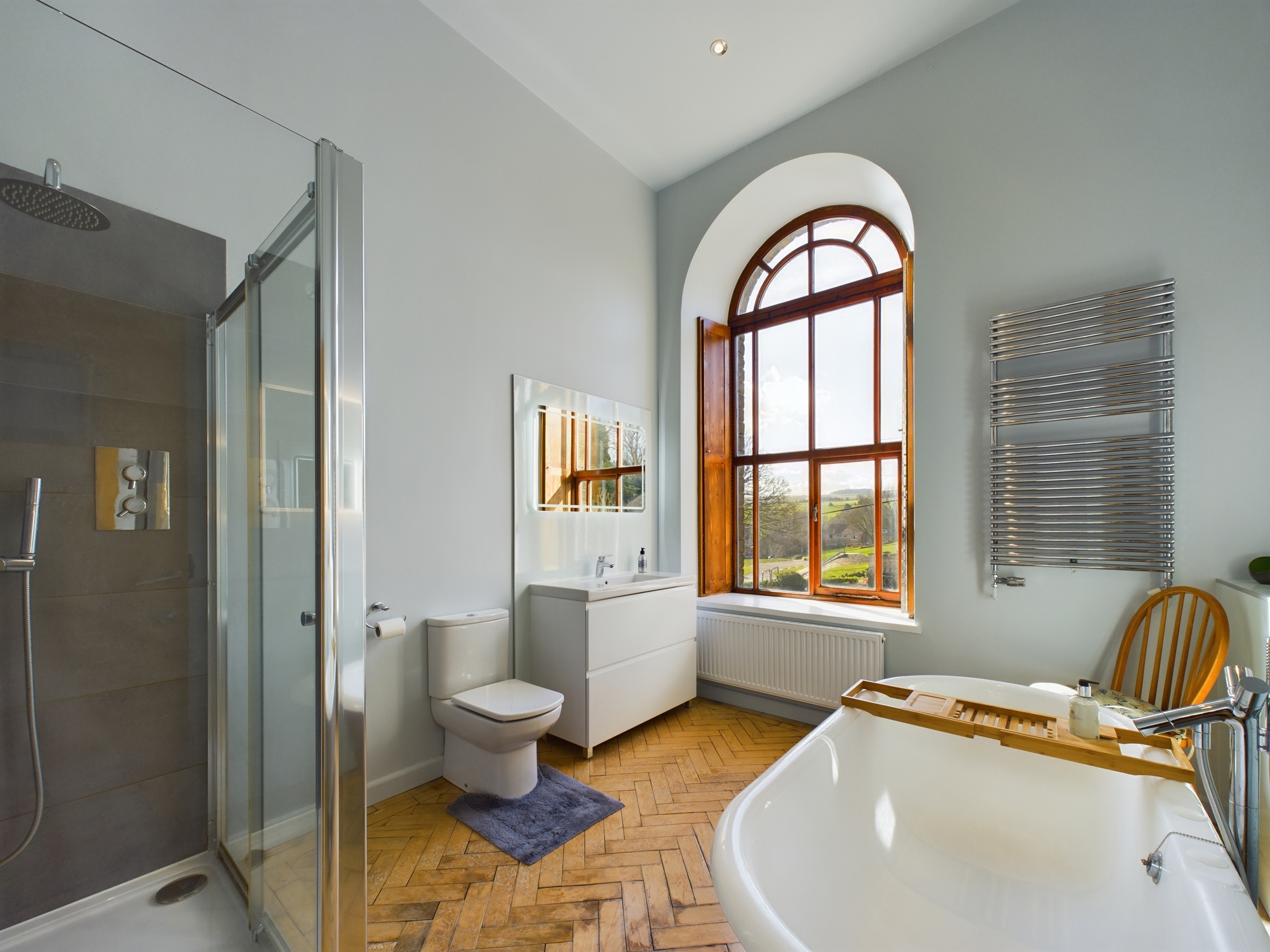
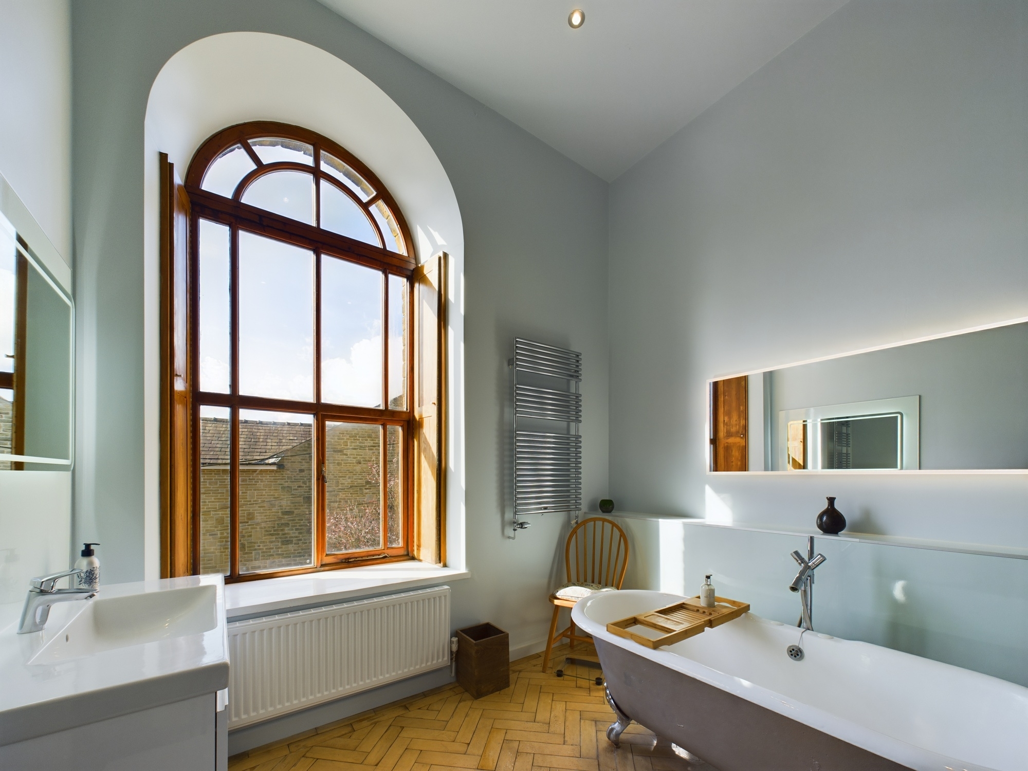
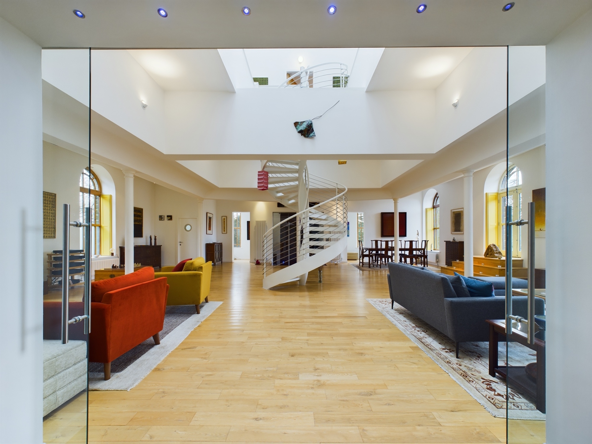
Craft immersive 360° walkthroughs so potential buyers can explore properties virtually, understand the space and make direct enquiries.
Let us bring your vendors properties to life! Prospective home buyers will see the property’s full potential with detailed 360 degree virtual tours. Generating genuine interest, more viewings and sell your properties faster with Rotorgraph Surveys Ltd.
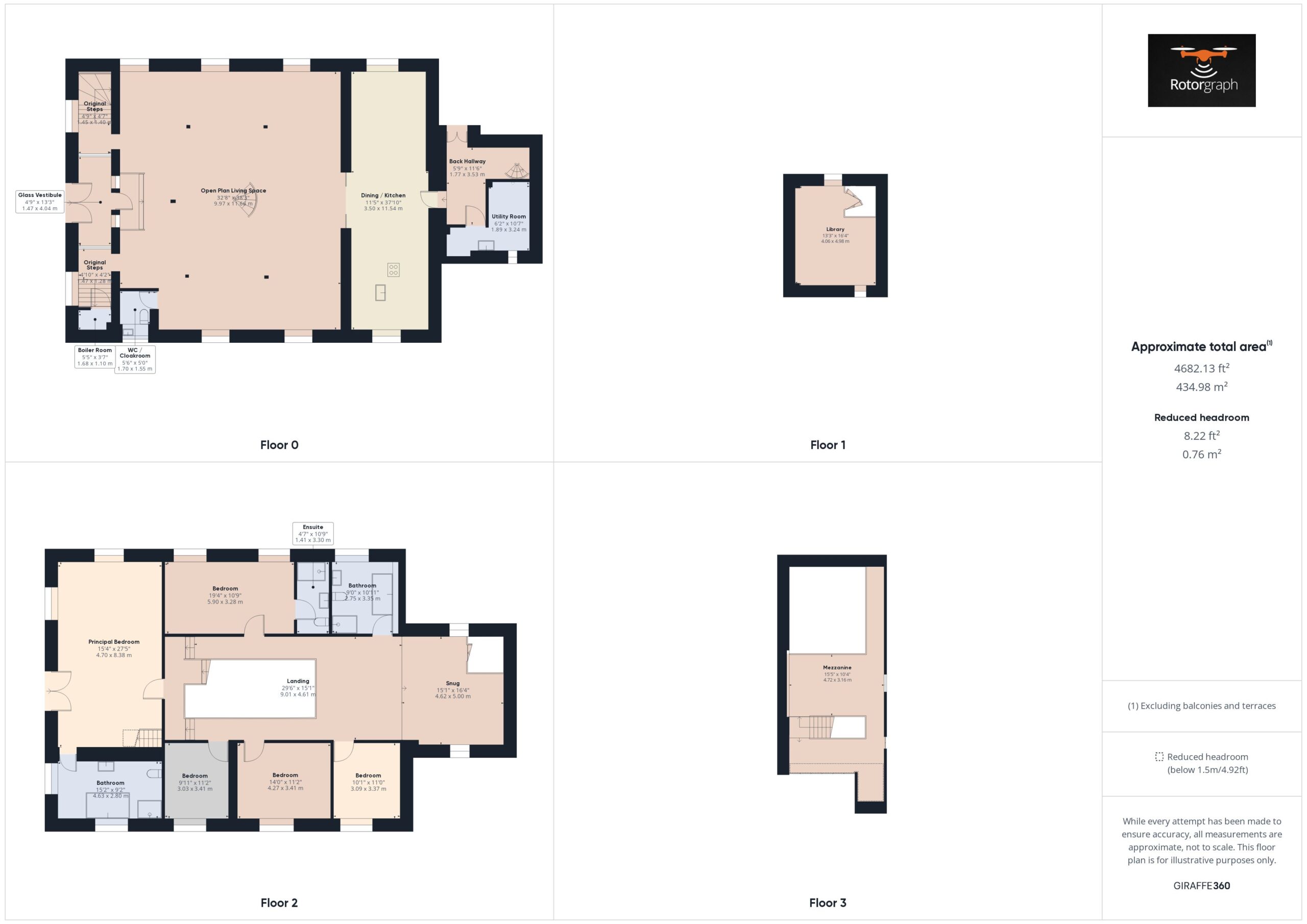
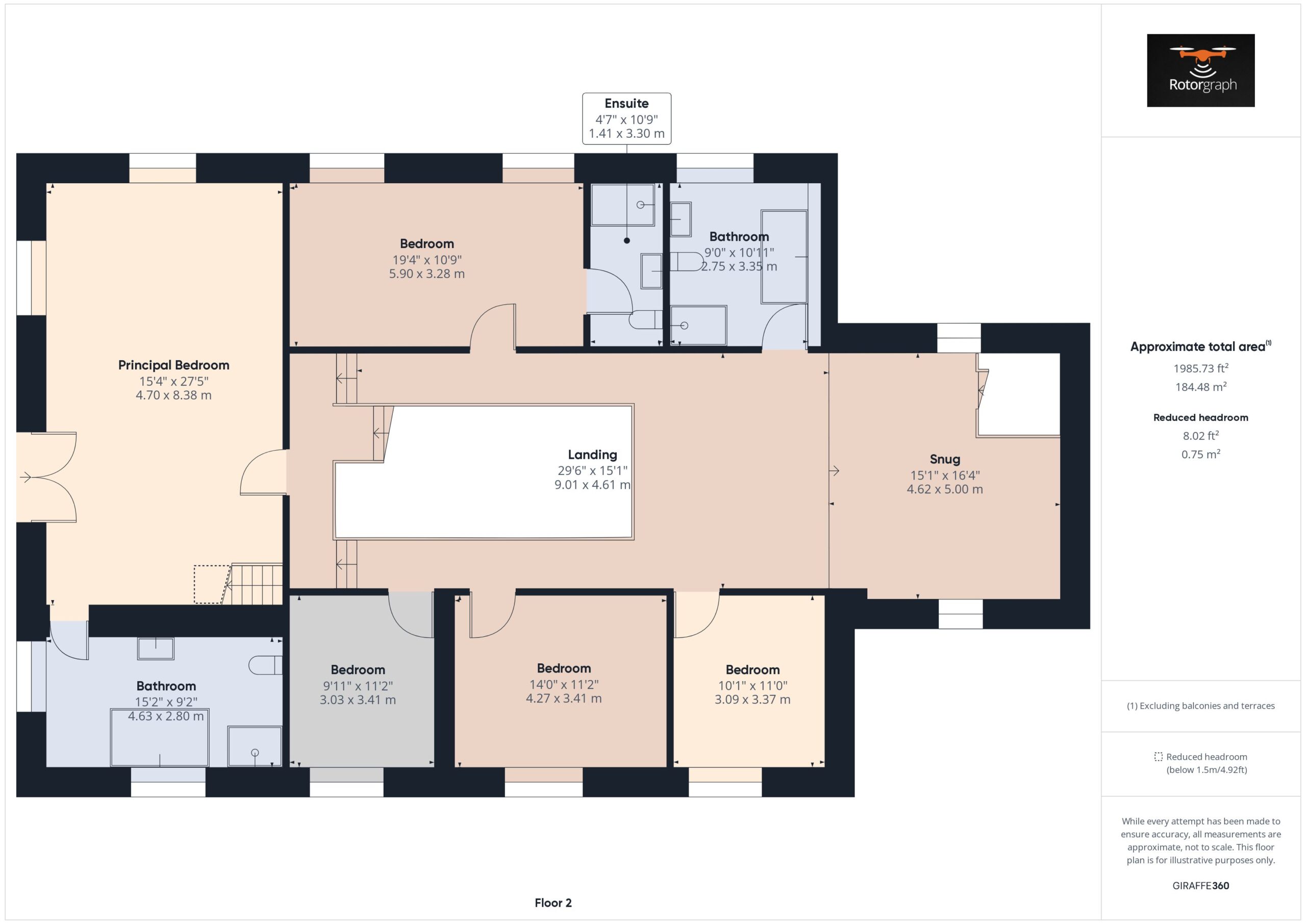
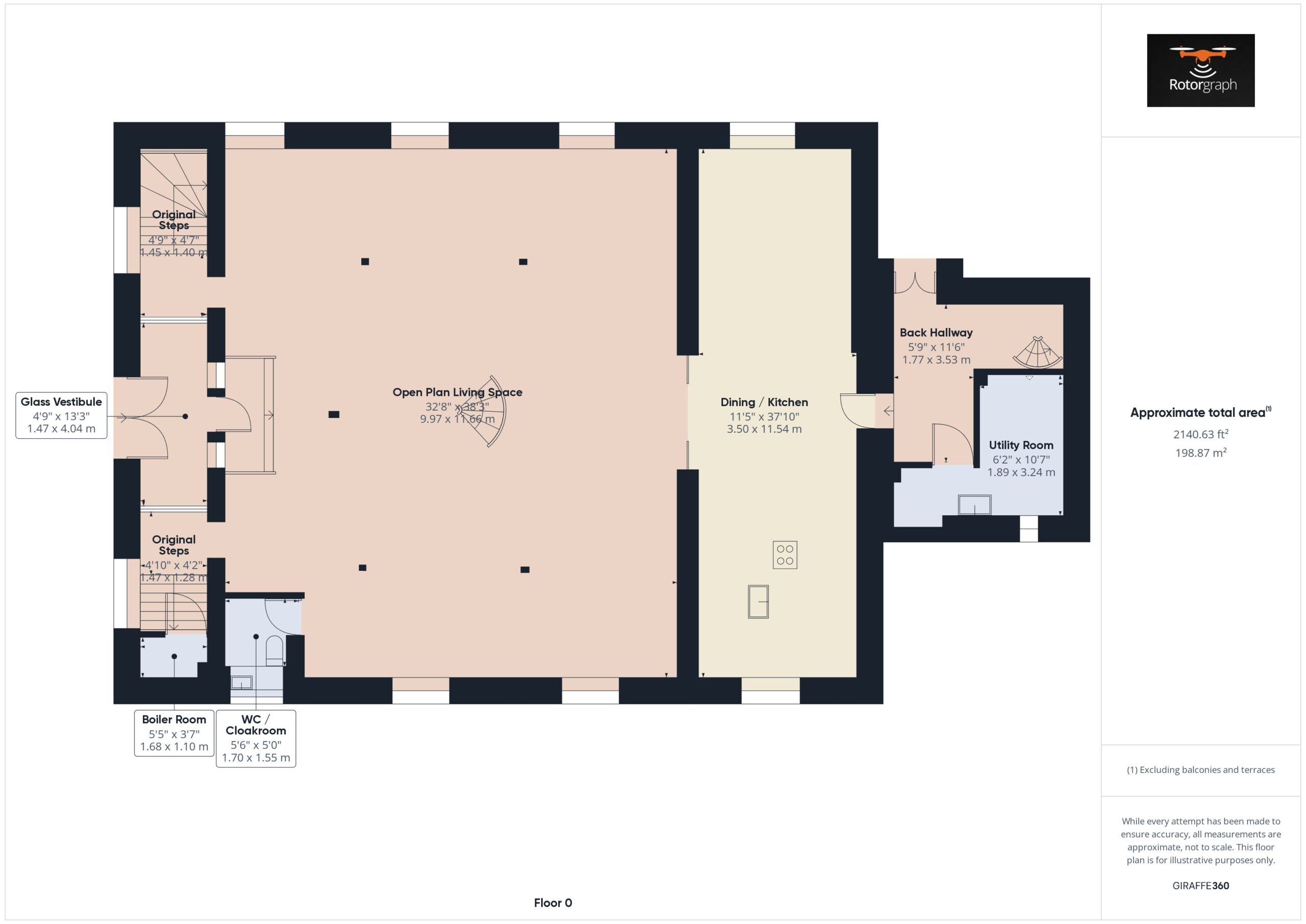
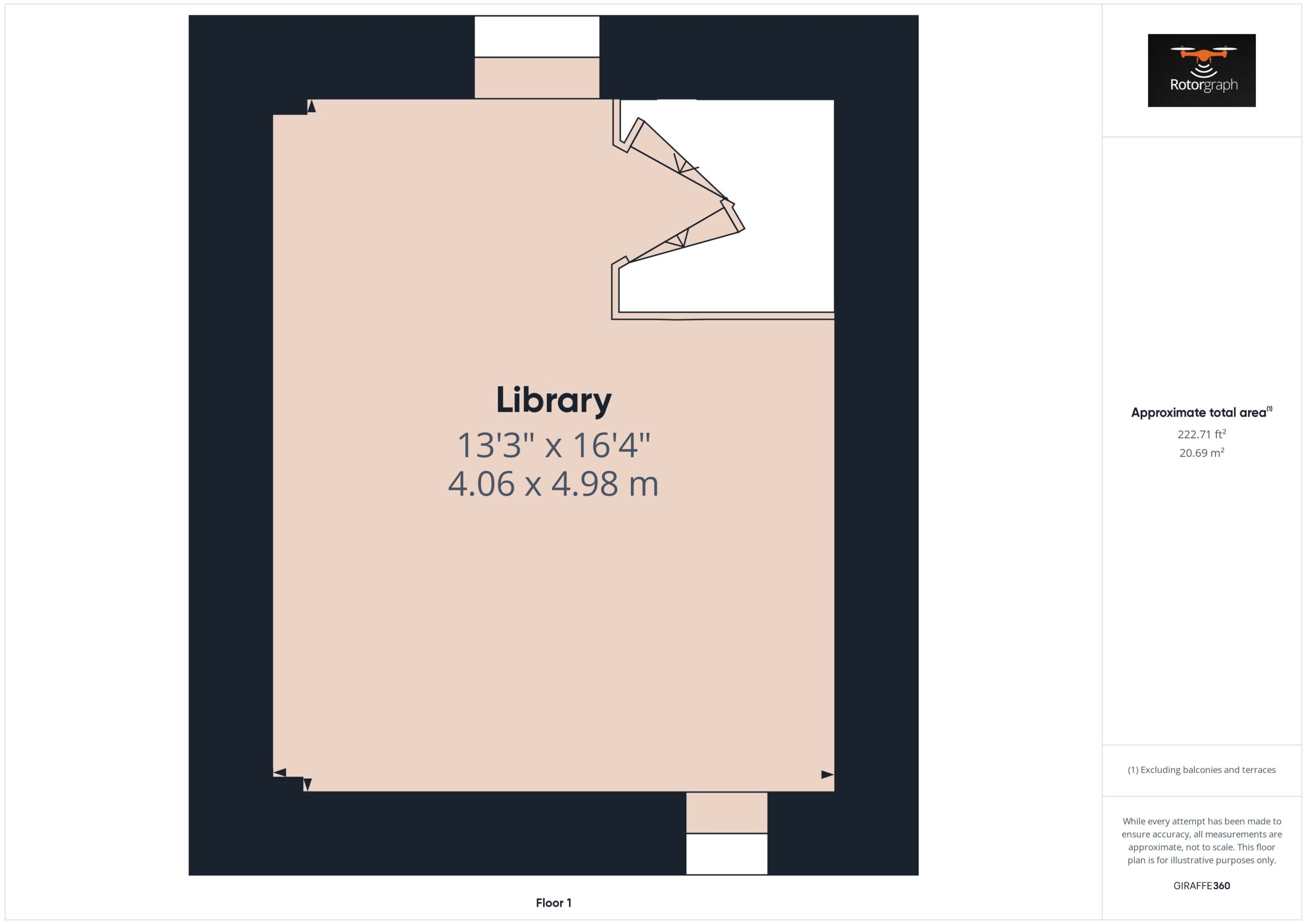
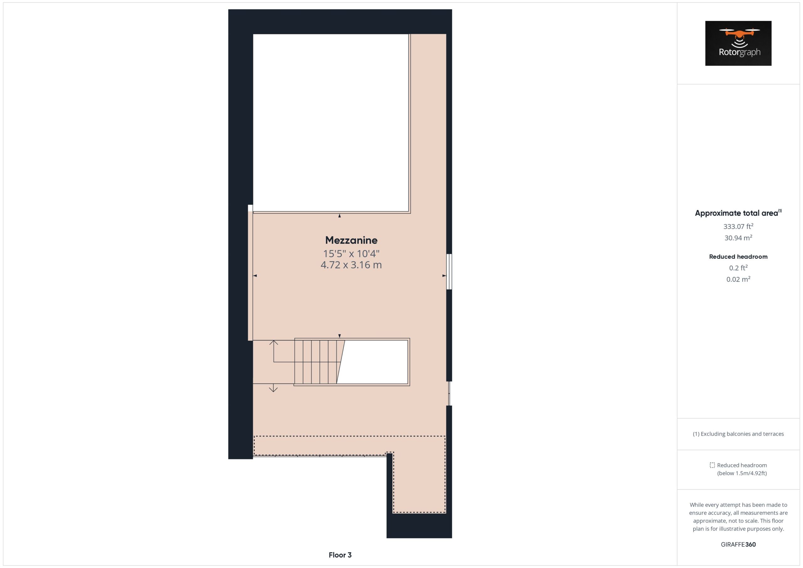
We create detailed and customisable property layouts that provide potential buyers with a precise spatial understanding. Automatically assembled for you floor-by-floor.
Our drone pilots have full PfCO & CAA permissions to carry out aerial work, as well as £10m public liability insurance for your peace of mind.
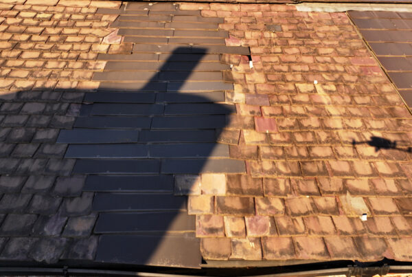
Discover more about Rotorgraph Specialist Roof Surveys’ roof surveys. View our latest case studies for inspiration.

![]()

![]()
CAA No. 3904 | Insured for £1m Public and Employee Liability
Company Registration No: 14797628 | VAT Registration No: 452070914
© 2025 Rotorgraph Surveys Ltd. Privacy & Cookie Policy | Terms & Conditions


